
Home / Location / Hartford, CT
Hartford’s commercial landscape combines corporate offices, healthcare facilities, advanced manufacturing, aerospace, and distribution. GeoMaus provides as-built surveys, 3D laser scanning, existing-condition documentation, Scan-to-CAD, and Scan-to-BIM for projects where accurate information about the existing building is essential.
From downtown office renovations to manufacturing facilities and aerospace sites in the Windsor Locks / Bradley corridor, we document buildings as they exist today so architects, engineers, contractors, and owners can design with better information.
Typical projects: Corporate Offices | Healthcare | Manufacturing | Distribution | Commercial Renovations
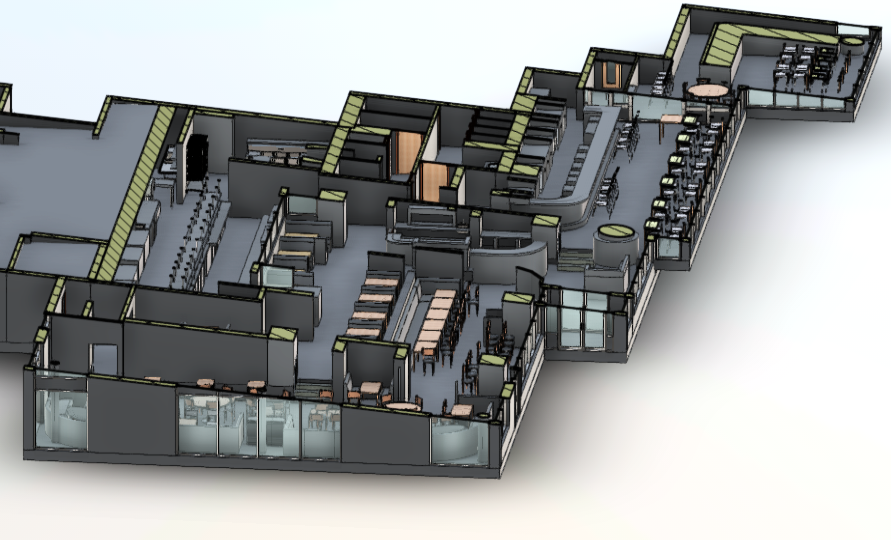
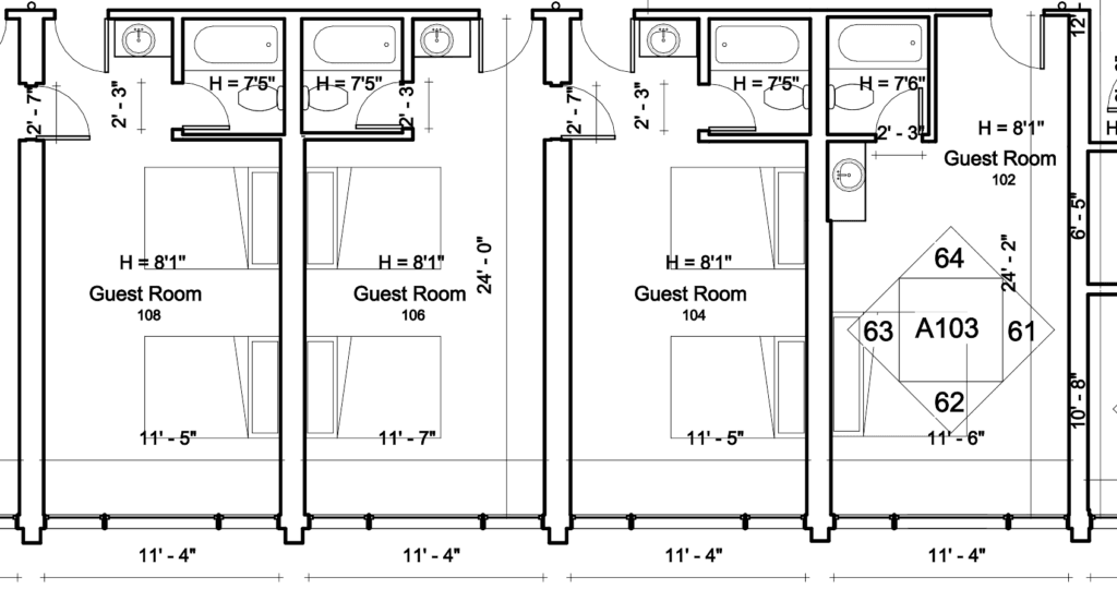
Hartford-area buildings can contain decades of modifications, tenant changes, equipment upgrades, and MEP work. The original drawings may describe how a building was designed- not necessarily how it exists now.
That difference matters when you’re planning a renovation, retrofit, expansion, or new installation.
GeoMaus captures your property as it exists today, providing architects, engineers, contractors, developers, facilities teams, and property managers with a verified existing-condition baseline before the next phase of work begins.
Hartford is widely associated with insurance and financial services, but the wider region has a much broader industrial base. Insurance, aerospace and defense, advanced manufacturing, healthcare, and distribution are all major sectors across Greater Hartford.
That creates a wide range of existing-condition requirements. Corporate offices may need accurate floor plans for renovations or tenant changes, while manufacturing and healthcare projects can require much more detailed spatial and MEP information.
The aerospace and advanced-manufacturing ecosystem is particularly relevant around Windsor, East Hartford, and Windsor Locks. The Windsor Locks / Bradley corridor includes aerospace manufacturing, distribution, and transportation infrastructure, making it an important part of the region’s industrial landscape.
For these facilities, the objective is not simply to produce another floor plan. It is to create usable spatial information that can support facility upgrades, engineering design, MEP coordination, expansion planning, and retrofit work.
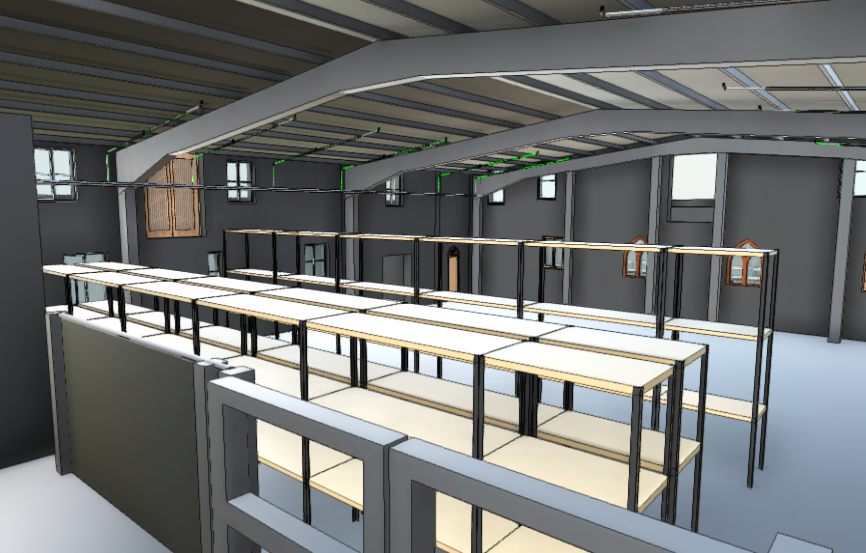
We turn existing buildings into usable project data for design, coordination, construction, and facility planning.
Every deliverable is built from verified 3D laser scan data, captured within your facility’s security and operational protocols. Delivered in DWG, PDF, or Revit, whatever your engineering team already uses.
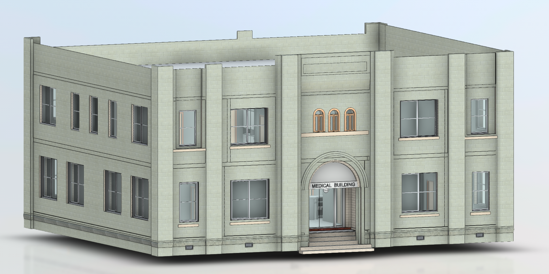
Up-to-date floor plans, elevations, sections, and existing-condition information for commercial, industrial, and historic properties where original drawings are missing, outdated, incomplete, or no longer reflect the building accurately.
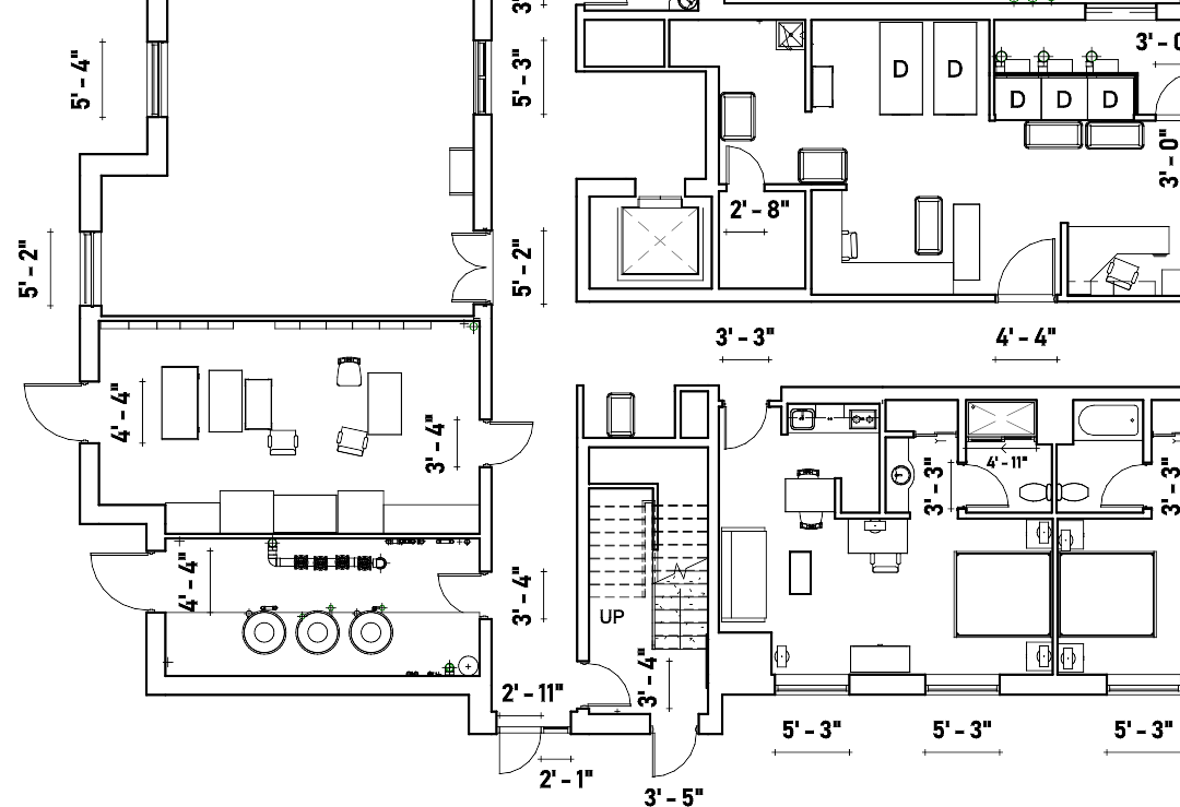
Clean 2D as-built drawings produced from laser scan data, ready to hand directly to your architect, engineer, contractor, facilities manager, or property development team.
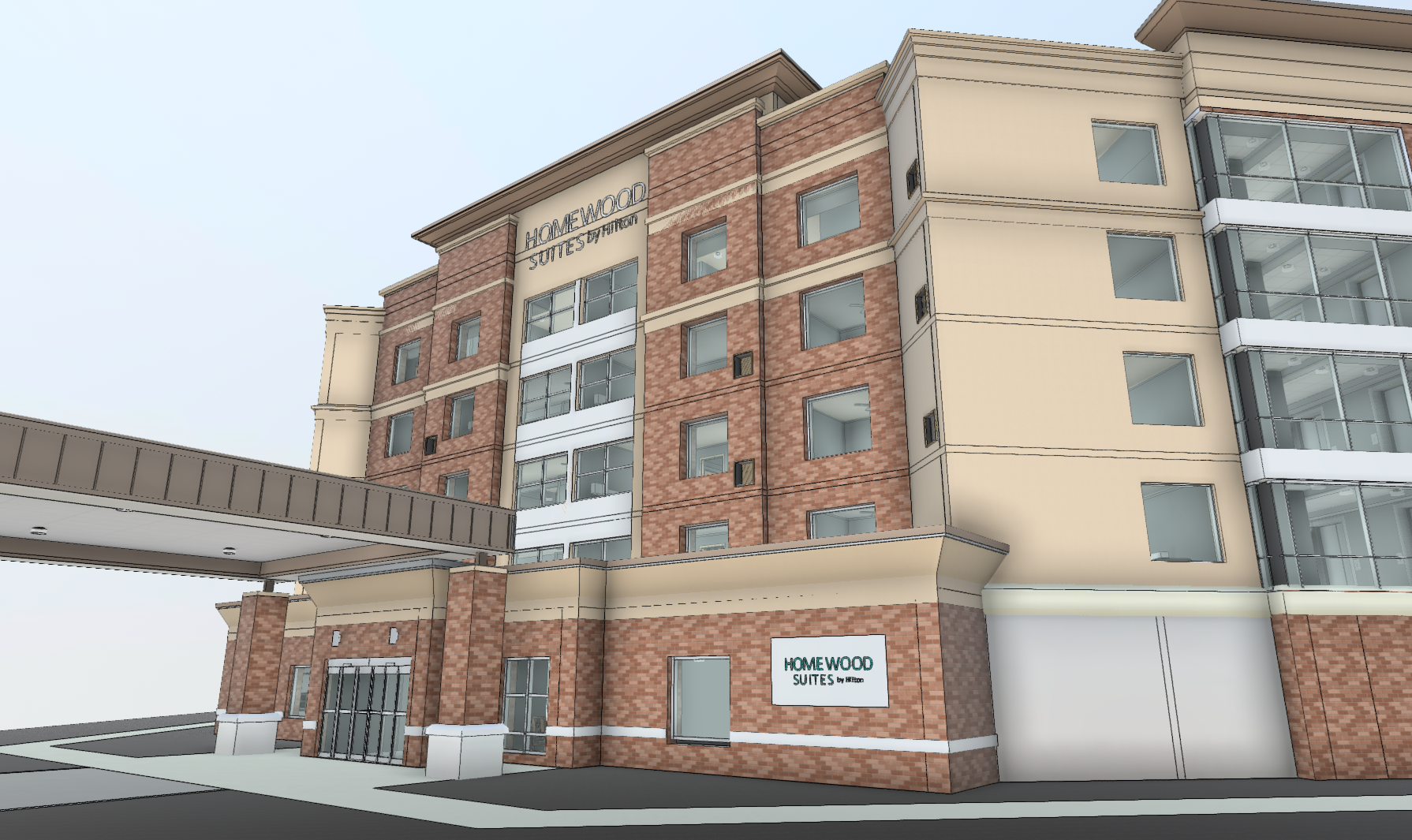
A working Revit model of your property as it exists today. Useful for warehouse expansions, industrial redevelopment, adaptive reuse, commercial renovations, MEP coordination, facility planning, asset management, and multi-site portfolios.
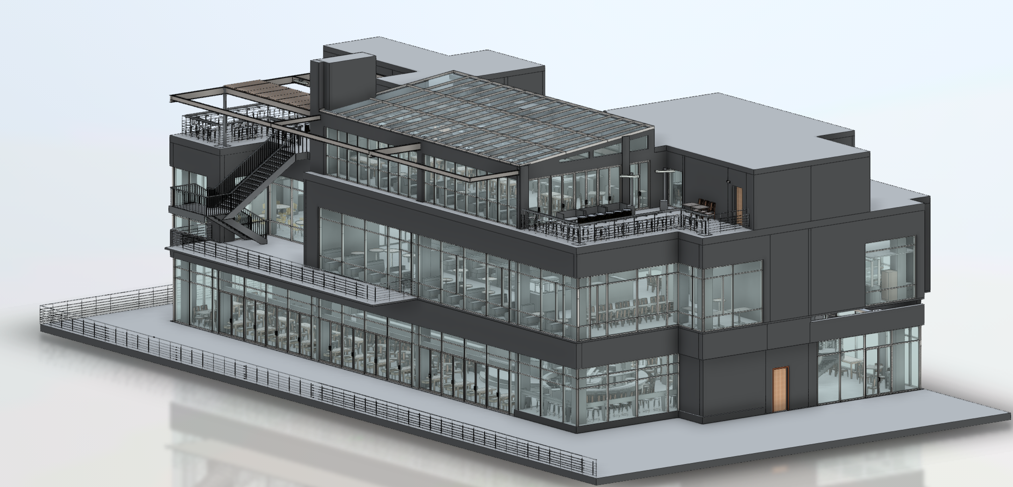
A complete record of your property's current physical conditions. Drawings and models your team can rely on for refurbishment, expansion, redevelopment, tenant improvements, compliance, asset management, and future capital projects.
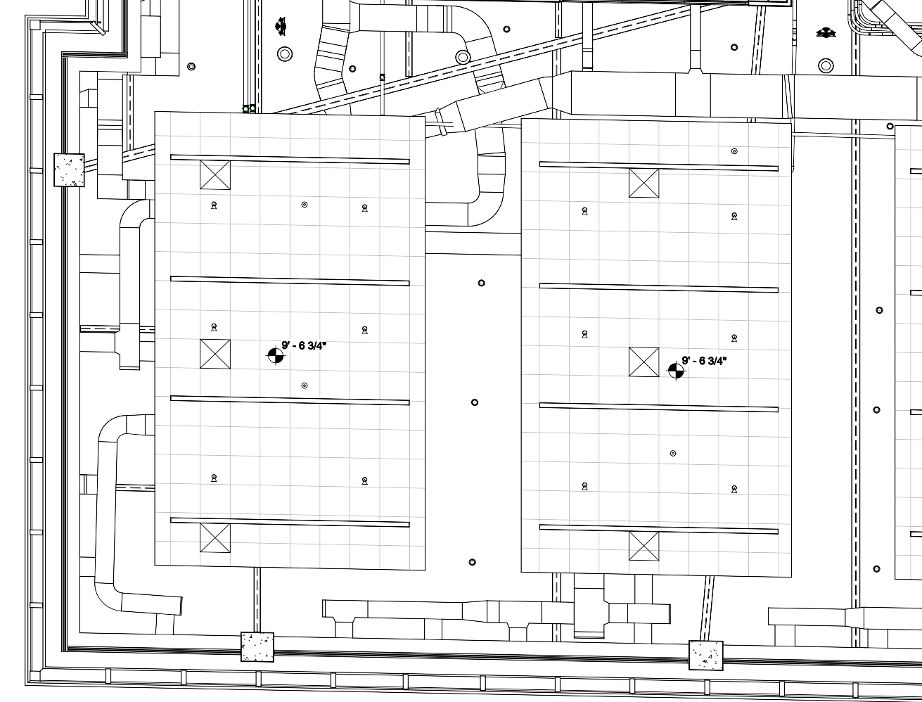
Coordinated documentation of ductwork, piping, cable trays, electrical systems, refrigeration infrastructure, equipment, and other building services, captured where they actually exist rather than where outdated drawings suggest they should be.
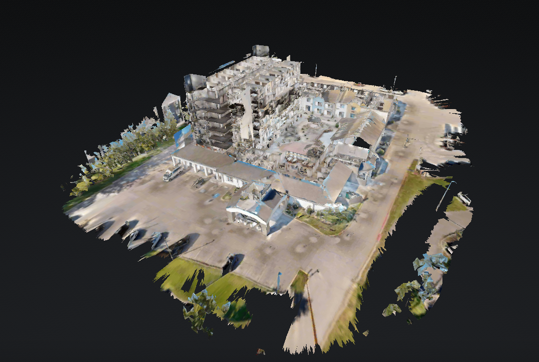
A walkable 3D model of your property that your team can explore remotely from a browser. Useful for facilities management, property operations, leasing, vendor coordination, remote teams, and portfolio documentation.
On every project, you’ll work directly with Michael Kiernan, GeoMaus’s founder, from the first call through to delivery. No project coordinators, no handoffs, no relayed messages. When something changes onsite or a deadline shifts, you’re speaking to the person who can make the call that day.

LOCATION
BUILDING
SIZE
SCOPE
3D LiDAR Laser Scanning, BIM Modelling, Measured Building Survey, 3D Virtual Tour
Yes. GeoMaus provides measured building surveys, as-built documentation, and 3D laser scanning throughout Hartford and the surrounding region, including Windsor Locks, Windsor, and East Hartford. We support commercial, industrial, aerospace, manufacturing, and distribution facilities.
Yes. Site capture can be planned around working hours, occupancy, security, access restrictions, and other operational requirements.
Yes. Existing-condition drawings and scan data can provide the dimensional information needed before developing a new tenant layout within an existing space.
Depending on the project, deliverables can include DWG, PDF, Revit, point-cloud data, MEP documentation, and Matterport virtual tours.
Yes. Visible MEP systems can be captured and documented to support renovations, retrofits, engineering design, and coordination.
Most enquiries get a same-day reply from Michael directly. If your project isn’t a fit for us, he’ll tell you on the call and point you somewhere better.
No sales calls, no automated drip sequences. Michael replies personally to every enquiry usually within a few hours.