
Home / Location / Ashburn, VA

Accurate As-Built Documentation for Ashburn Data Centers

Accurate floor plans, as-built drawings, and existing conditions Revit models for data centers as well as hotels, industrial complexes, and offices. Built for the operational realities of live data centers:  continuous uptime, high security, and zero tolerance for accidental disruption. Every project is run directly by Michael Kiernan, GeoMaus’s founder.

Typical projects: Existing data centers and hyperscale facilities, office buildings, hotels and restaurant. Single properties, brand portfolios, and global multi-site programmes.
3D Building Capture
Founder-Led Delivery
Delivered in DWG, PDF or Revit
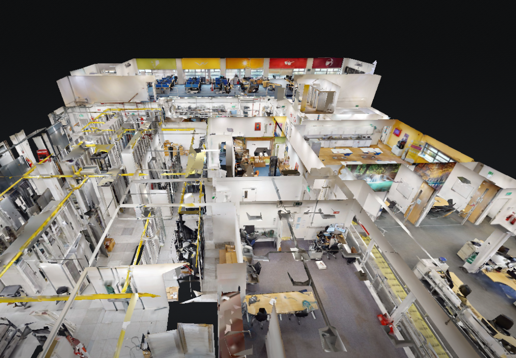
GeoMaus serving Data Centers - Matterport gopro3 virtual tour - Dollhouse Section view
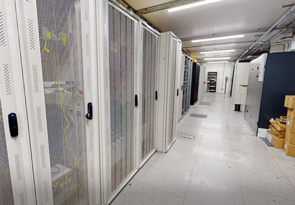
GeoMaus serving Data Centers - Matterport gopro3 vrtual tour - Server Room walkthrough

The Problem

Working From Outdated Drawings in the World's Most Critical Infrastructure Hub

Ashburn sits at the center of Data Center Alley. When your as-built documentation is wrong, missing, or 10 years out of date, every decision downstream becomes a gamble.
The cost of guessing is always higher than the cost of knowing. GeoMaus captures your facility exactly as it is today – not as it was designed – so your engineering team isn’t working from fiction.

WHY ASHBURN

The World's Data Center Capital Demands Precision

With an estimated 70% of global internet traffic passing through Northern Virginia daily, facilities in Data Center Alley operate under extraordinary pressure. Accurate as-built documentation isn’t a luxury, rather it’s infrastructure.

Ashburn and the surrounding Loudoun County corridor host the densest concentration of data centers on Earth. From the legacy MAE-East peering infrastructure to the hyperscale campuses along the Dulles Technology Corridor, this region powers the internet.

That density creates unique challenges for facilities teams. A single inaccurate dimension in a server hall can cascade into MEP coordination failures, delayed permits, and millions in rework. When you’re planning whitespace expansion, cooling upgrades, or infrastructure retrofits, you can’t afford to work from outdated drawings.

GeoMaus understands the Ashburn ecosystem. We’ve surveyed operational colocation halls, active electrical rooms, and live cooling plants across Northern Virginia – all without a single minute of downtime. Whether you’re documenting one facility or a multi-site portfolio, Michael Kiernan handles every project directly.
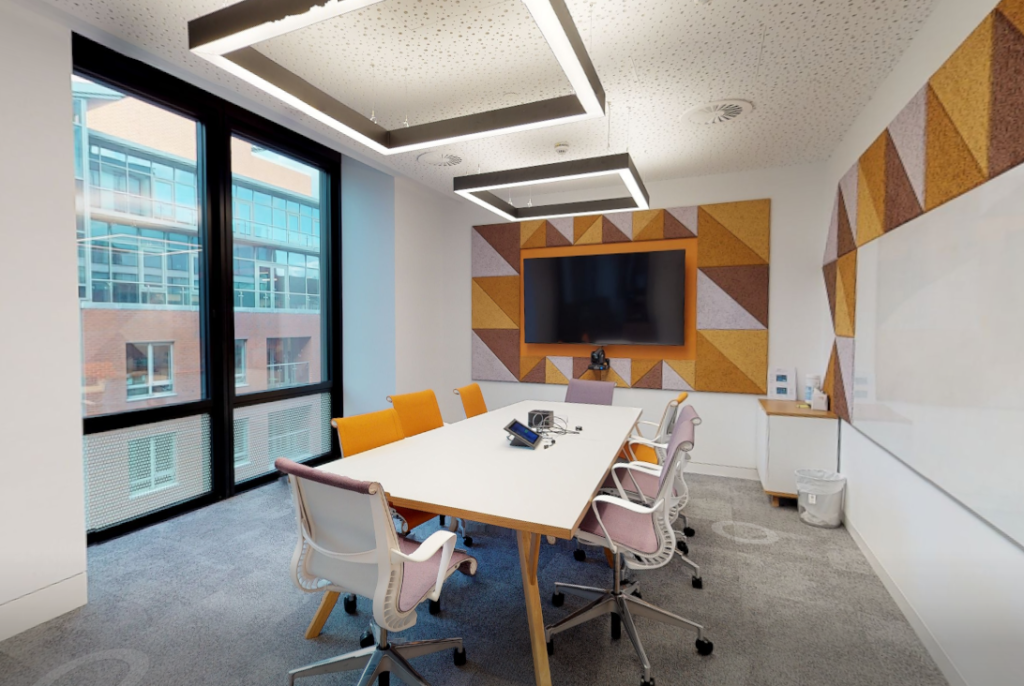
GeoMaus serving Office buildings - Matterport virtual tour - Office conference room walkthrough

WHAT WE DELIVER

Data Center Surveying Services in Ashburn & Northern Virginia

We work on buildings 50,000 sqft and above including data centers,, offices, warehouses, distribution centres, and multi-site portfolios where accurate documentation is non-negotiable.

Every deliverable is built from verified 3D laser scan data, captured within your facility’s security and operational protocols. Delivered in DWG, PDF, or Revit, whatever your engineering team already uses.
Measured Building Surveys - Geomaus Services

Measured Building Surveys

Up-to-date floor plans, elevations and sections for existing conditions data centers and other buildings where the original drawings are missing, outdated, or wrong.
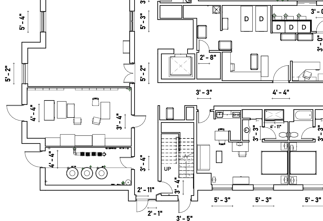
Scan to CAD

Clean 2D as-built drawings produced from laser scan data, ready to hand straight to your architect, leasing team, or facilities manager the day they land.
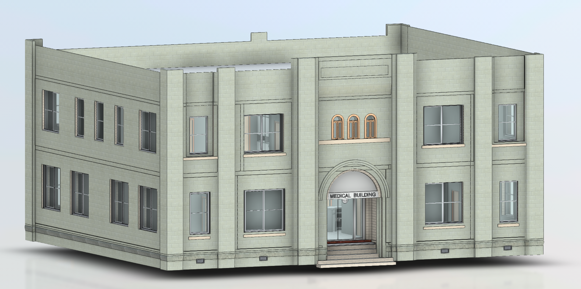
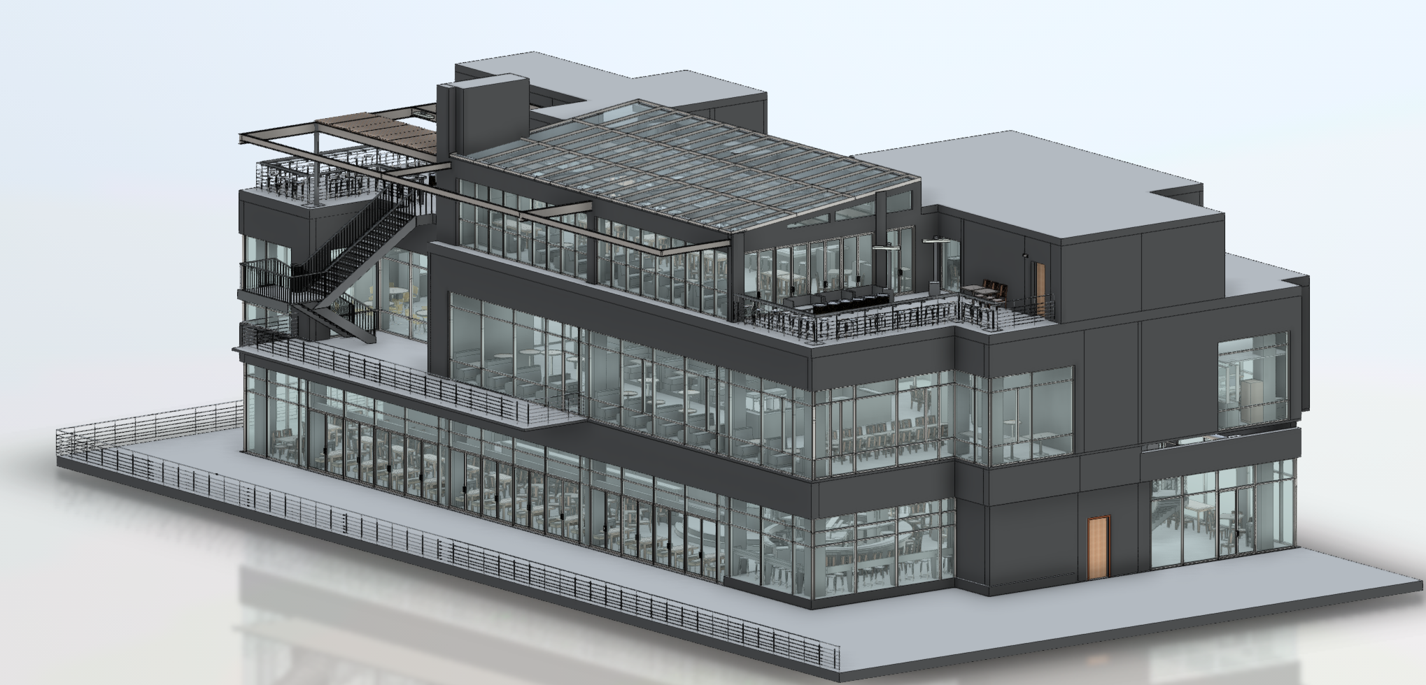
Scan to BIM Models - Geomaus Services

Scan to BIM

A working Revit model of your facility as it actually is today, not as it was designed. Critical for capacity planning, infrastructure upgrades, and multi-site portfolio coordination.
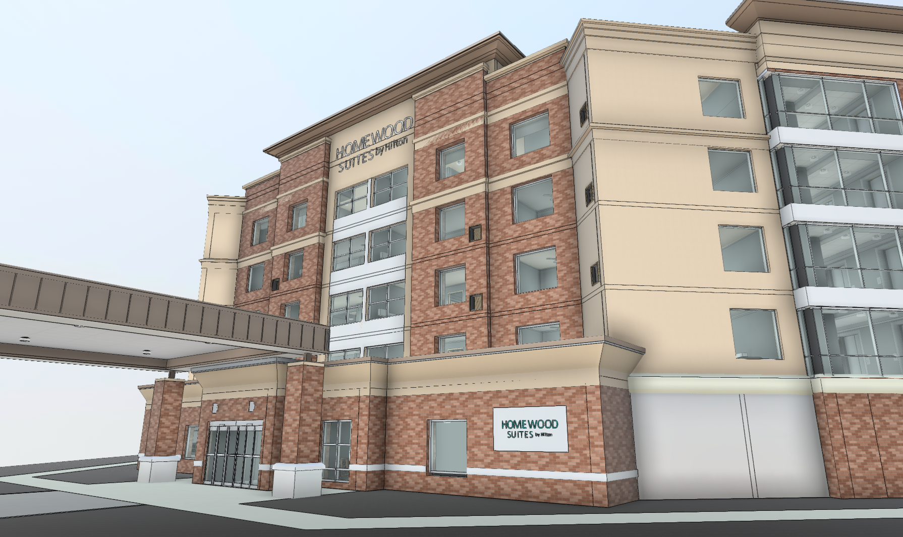
As-built Documentation

A complete record of how your data center is built today. Drawings and models you can rely on for the next 20 years of capital planning, compliance, and asset management decisions.
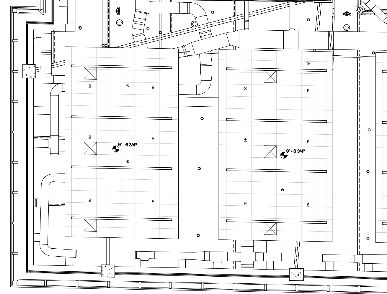
MEP documentation - Geomaus Services

MEP documentation

Coordinated models of the ductwork, pipes, cable trays, and electrical systems running through your building, captured exactly where they actually sit, not where the design said they would be.
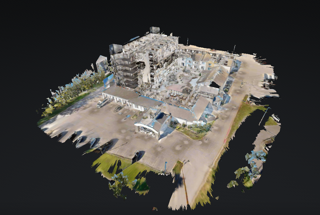
Matterport 3D Virtual Tours - Dollhouse View -GeoMaus Service

Matterport 3D Virtual Tours

A walkable 3D model of your facility anyone on your team can explore from a browser - no software, no training, no site visit and is ideal solution for remote engineering teams and vendor coordination.

HOW IT WORKS

From First Call to Delivered Drawings

On every project, you’ll work directly with Michael Kiernan, GeoMaus’s founder, from the first call through to delivery. No project coordinators, no handoffs, no relayed messages. When something changes onsite or a deadline shifts, you’re speaking to the person who can make the call that day.

Michael Kiernan | CEO, Founder | GeoMaus
You work directly with me.
No account managers, no handoffs. When you need a decision, you're talking to the person who can make it.
1
The First Call - Straight to Michael
You'll spend 30 minutes on a call with me, not a salesperson. We'll talk through your building, your timeline, and what you actually need at the end. If your project isn't a fit for us, I'll tell you on that call and point you somewhere better.
2
Onsite - Built Around Your Operations
We plan every scan day around how your building runs. Out of hours for retail and hospitality, around shift changes for warehouses, security-cleared teams for sensitive sites. You'll know exactly who's onsite, when, and what they're doing.
3
Processing & Verification
Once we leave site, your data is processed by one team and quality-checked by another. By the time anything reaches you, two people have signed off on it. You don't have to be the quality control.
4
Delivery - Exactly How You Ordered It
You'll receive your drawings and models in whatever format your design team, facilities manager, or asset manager already works in. Revit, AutoCAD, PDF & Matterport. Plus a project handover call so nothing gets lost in translation.

COMMON QUESTIONS

What Data Centre Teams Ask Before Commissioning a Survey

Everything you need to know about our data center surveying workflow, accuracy, and deliverables.

How do you guarantee your survey equipment won't interfere with live, sensitive server equipment?
3D laser scanning is non-contact and non-emitting. There’s no physical interaction with equipment, no airflow disruption, and no electromagnetic interference.
Our teams comply fully with your facility’s security and access protocols. Every team member is pre-cleared, security-inducted, and follows your access procedures.
Yes, where access permits. We coordinate with your facilities team to access raised floors and ceiling voids during scheduled maintenance windows.
Yes. Models and drawings are delivered in formats your downstream platforms consume.
Michael Kiernan, GeoMaus’s founder, runs every project personally. You’ll have his direct line from the first call. The fieldwork and modelling are delivered by our team, but the planning, the quality control, and any decision that affects your programme are owned by Michael.

REQUEST A FREE QUOTE

Tell Michael About Your Project

Most enquiries get a same-day reply from Michael directly. If your project isn’t a fit for us, he’ll tell you on the call and point you somewhere better.

No sales calls, no automated drip sequences. Michael replies personally to every enquiry usually within a few hours.