
GeoMaus provides commercial as-built documentation, 3D laser scanning, and Scan-to-BIM services for buildings across Brooklyn, NY. From multi-story industrial facilities and warehouse campuses to manufacturing spaces, offices, and mixed-use commercial properties, we capture existing conditions to give project teams dependable information for renovation, tenant improvements, space planning, and building upgrades.
Whether you are documenting a single property or coordinating work across multiple buildings, our team delivers accurate, organized existing-condition information in the formats your project requires, including AutoCAD drawings, Revit models, PDFs, point clouds, and 3D virtual tours.
Typical projects: Office Buildings | Hotels | Restaurants | Retail Spaces | Mixed-Use Developments | Commercial Interiors | High-Rises | Tenant Improvements
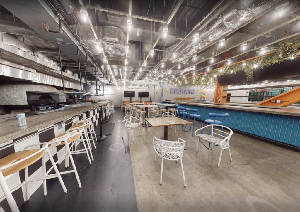
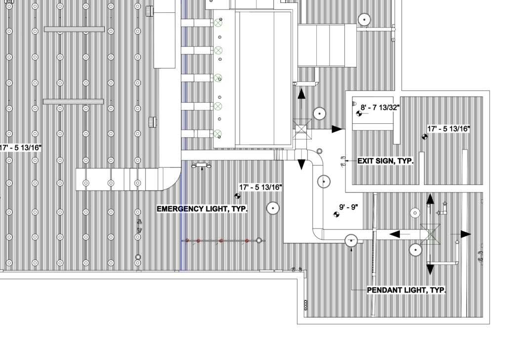
Brooklyn’s commercial property landscape includes converted industrial buildings, multi-tenant campuses, warehouses, manufacturing facilities, and offices adapted over decades where renovations and tenant changes can leave existing drawings incomplete or inconsistent with the building as it stands today.
Large industrial campuses and multi-building properties can present coordination challenges across different floors, tenants, and shared facilities. Brooklyn Army Terminal contains approximately four million square feet of building space, while Industry City spans around six million square feet across 16 buildings. Properties of this scale may require consistent floor plans, measured building information, and coordinated documentation to support upgrades and space planning.
Office, retail, restaurant, and mixed-use properties bring different documentation needs, particularly when spaces are subdivided, reconfigured, or prepared for new tenants. Architects, contractors, and property managers may need verified floor plans, elevations, or visible MEP information before design and construction work begins. Existing-condition records can also help teams review spaces remotely when paired with 3D reality capture or virtual tours.
GeoMaus helps Brooklyn property owners, architects, contractors, and facility teams address these challenges through commercial as-built documentation, Scan-to-CAD, Scan-to-BIM, MEP documentation, and 3D reality capture. We scope each project around the property, areas to be documented, and required deliverables, providing practical existing-condition information to support renovation planning, coordination, and building improvements.
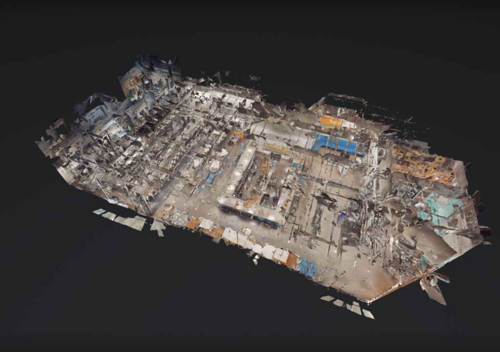
We document existing building conditions with measured floor plans, elevations, sections, and other agreed drawings. These records give architects, contractors, and property teams a practical starting point for renovation planning and building improvements.
Every deliverable is built from verified 3D laser scan data, captured around your property’s operational requirements and access constraints. Delivered in DWG, PDF, or Revit – whatever your design, engineering, facilities, or asset management team already uses.
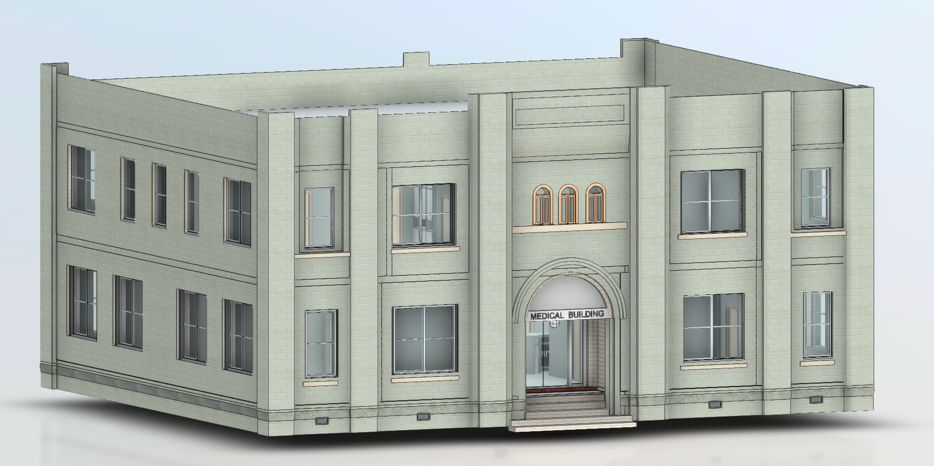
Up-to-date floor plans, elevations, sections, and existing-condition information for Miami commercial properties where the original as-built plans are missing, outdated, or no longer match the building.
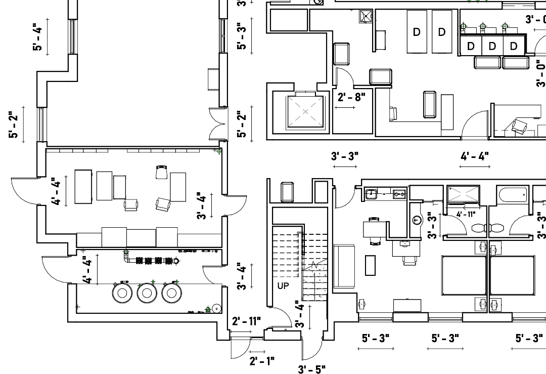
Turn measured site information into organized AutoCAD DWG and PDF drawings for design backgrounds, layout planning, and renovation documentation. Deliverables are scoped around the required drawing types, coverage, and level of detail.
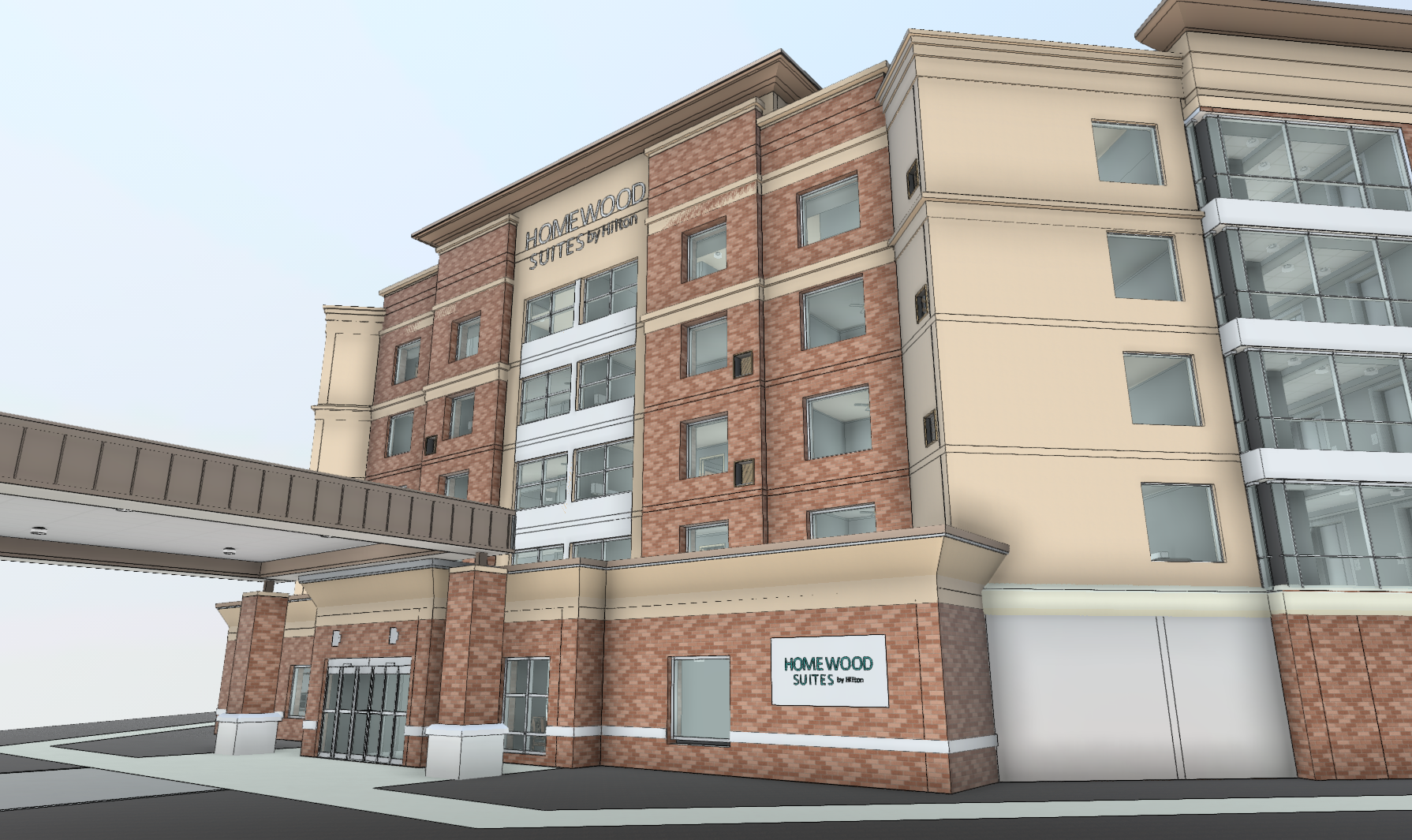
Convert captured building data into Revit models aligned with the agreed scope and level of development. BIM deliverables can support design coordination, existing-building analysis, and planning across industrial, warehouse, office, and mixed-use properties.
Document existing building conditions with measured floor plans, elevations, sections, and other agreed drawings. These records give architects, contractors, and property teams a practical starting point for renovation planning and building improvements.
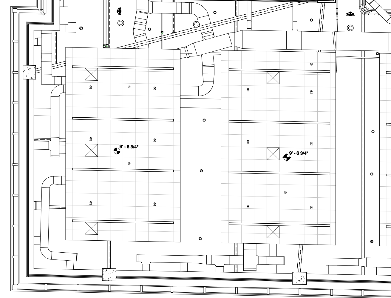
Capture and document visible mechanical, electrical, and plumbing features within the agreed survey scope. Existing-condition information can help project teams review service routes and coordinate proposed work, subject to access and visibility during site capture.
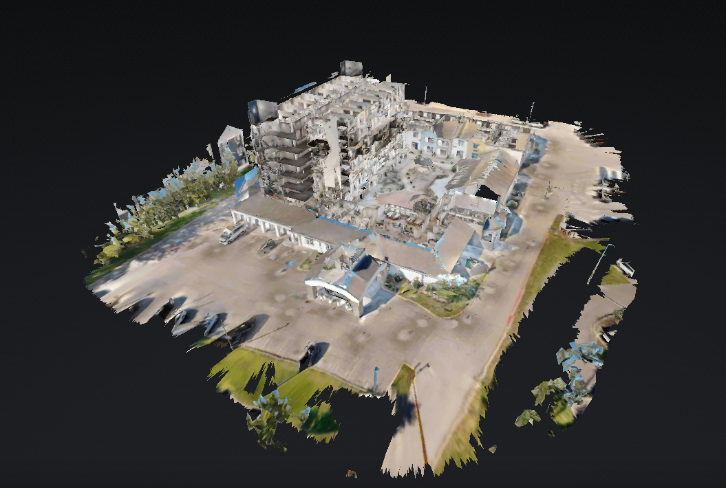
Create an accessible visual record of surveyed spaces for remote review and project familiarization. Virtual tours can help stakeholders understand existing layouts without relying solely on photographs or arranging additional visits, depending on the agreed capture scope.

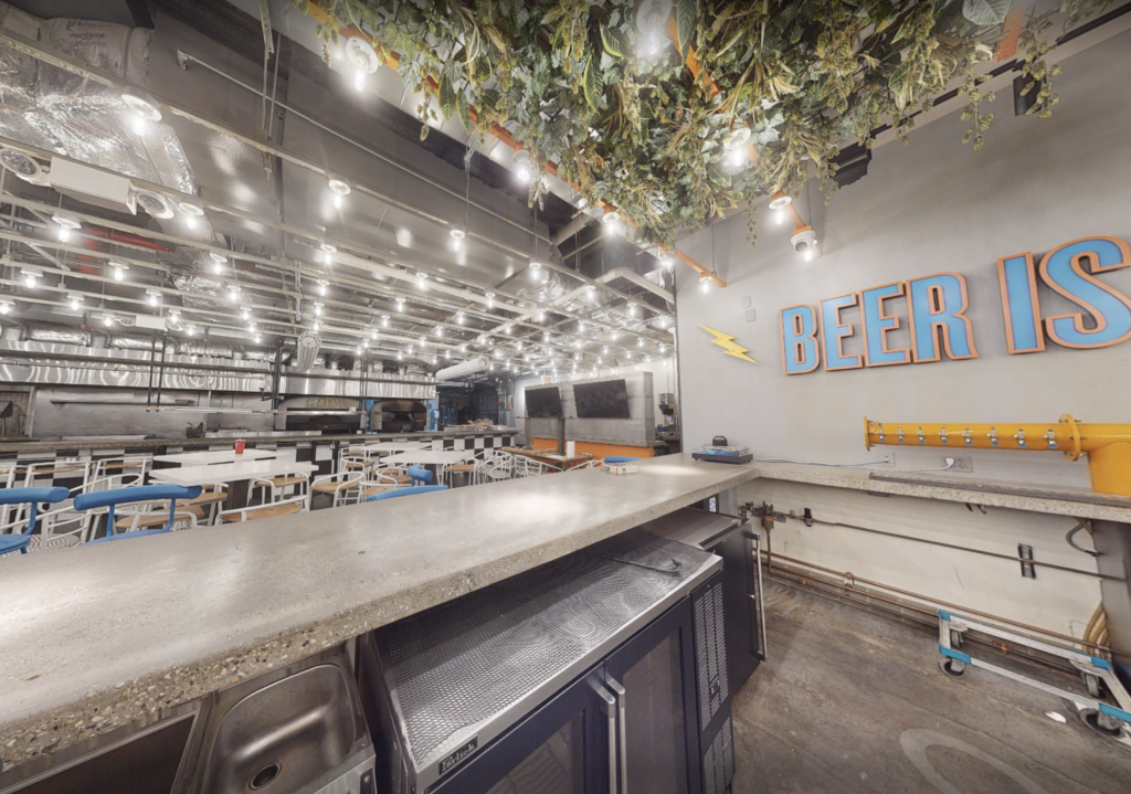
LOCATION
BUILDING
SIZE
SCOPE
3D LiDAR Laser Scanning, Scan to BIM, Measured Building Survey, 3D Virtual Tour
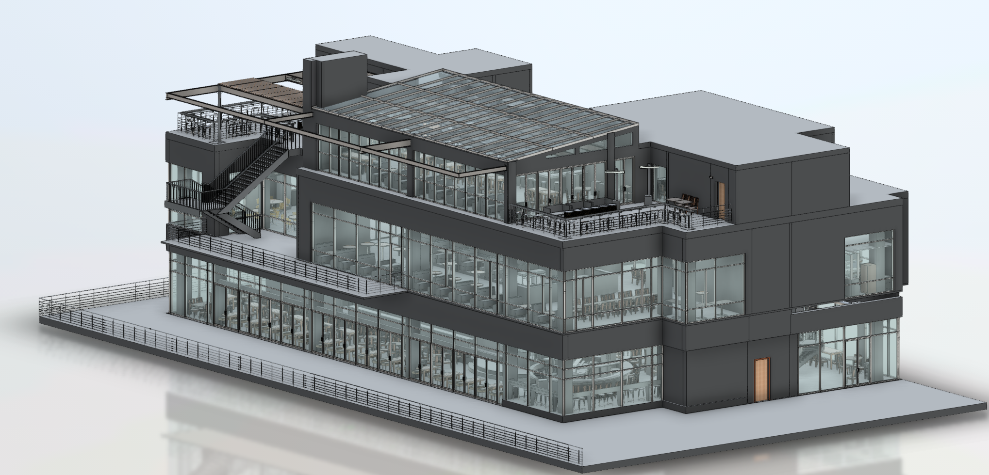
As-Built Survey and scan-to-BIM documentation for a 4,351 sq. ft. restaurant space in Brooklyn, NY. The project included detailed architectural CAD drawings, a Revit model, a point cloud, and a Matterport 3D virtual tour, documenting the restaurant’s public areas, kitchen, storage spaces, and building services.
Most enquiries get a same-day reply from Michael directly. If your project isn’t a fit for us, he’ll tell you on the call and point you somewhere better.
No sales calls, no automated drip sequences. Michael replies personally to every enquiry usually within a few hours.