
Home / Location / Bangor-Brewer, ME
GeoMaus provides commercial as-built documentation, 3D laser scanning, and Scan-to-BIM services for healthcare facilities, warehouses, distribution properties, and commercial buildings across the Bangor–Brewer area. We help project teams document existing conditions before renovations, facility upgrades, space reconfiguration, and changes in building use.
From medical facilities and outpatient spaces to distribution buildings and large retail properties, we deliver measured existing-condition information in formats suited to the project, including AutoCAD drawings, PDFs, Revit models, point clouds, and 3D virtual tours.
Typical projects: Office Buildings | Hotels | Restaurants | Retail Spaces | Mixed-Use Developments | Commercial Interiors | High-Rises | Tenant Improvements
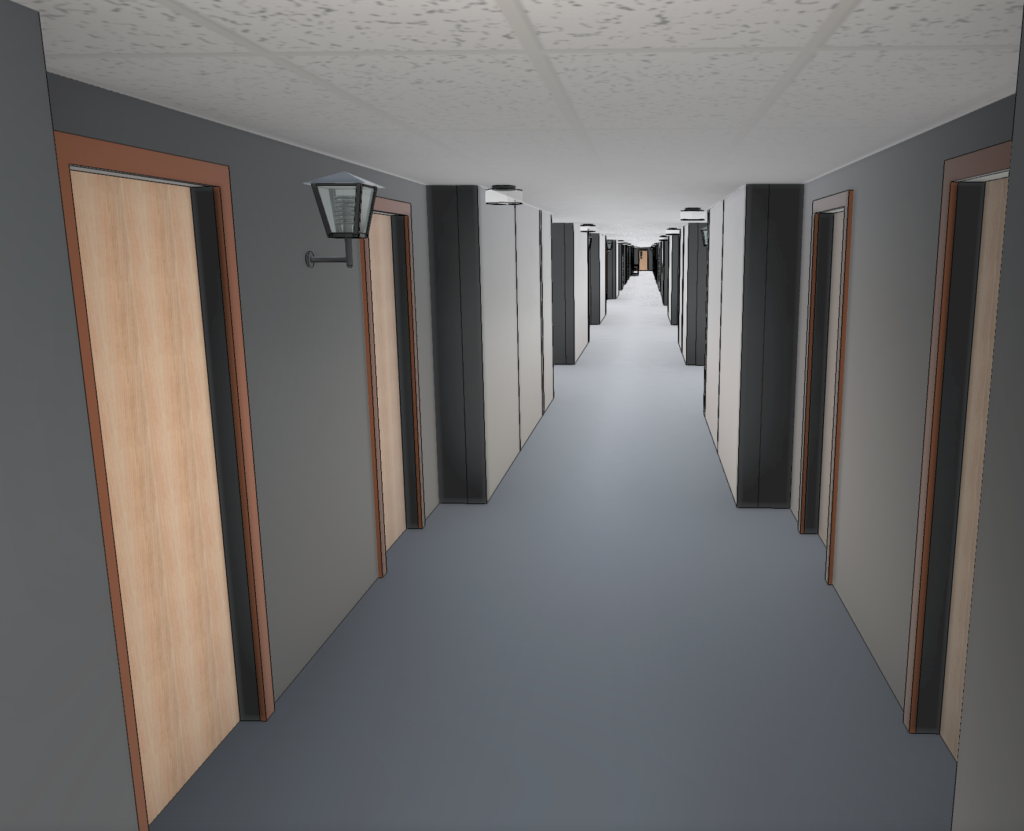
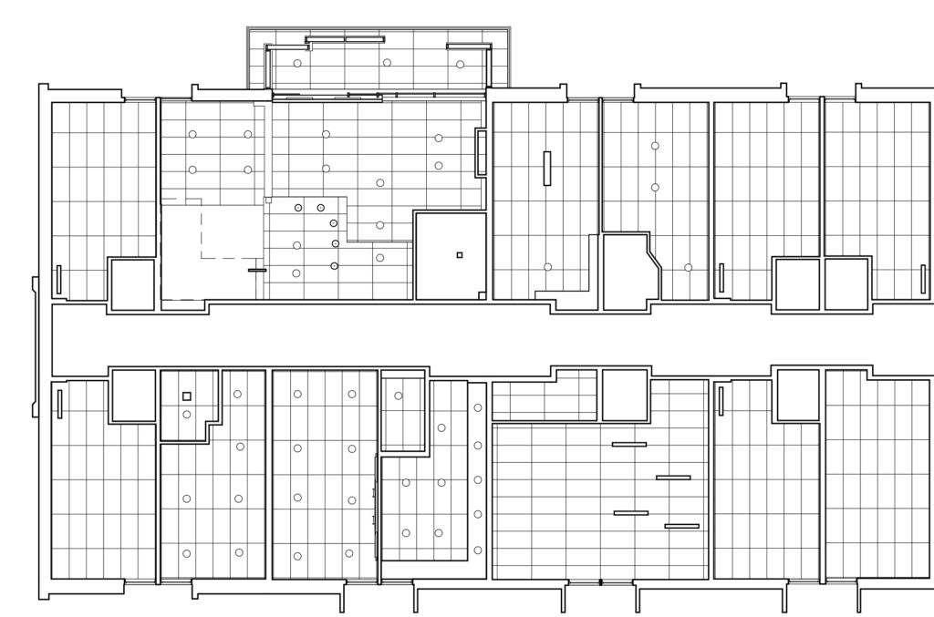
Healthcare facilities and commercial properties across the Bangor–Brewer area serve a wider regional market, often requiring spaces to be adapted as operational needs change. Without reliable documentation, project teams may need additional site measurements and drawing verification before design and construction can proceed.
Healthcare is a key part of the local market, with Northern Light Health’s home office located in Brewer and medical facilities serving Bangor and surrounding communities. Bangor’s position on I-95 and the freight capabilities of Bangor International Airport also support warehouse, distribution, and logistics activity. Facilities may need updated floor plans, loading and circulation dimensions, storage layouts, or measured building information before operational upgrades and renovations.
Retail and other commercial properties along Hogan Road and the Bangor Mall corridor present a different set of needs. Repositioning a large retail space or adapting a former big-box unit for another use can require verified dimensions, existing layouts, and a clear understanding of the building before design work begins.
GeoMaus supports these local project needs with commercial as-built surveys, Scan-to-CAD, Scan-to-BIM, MEP documentation, and 3D reality capture. We define the scope around the building, accessible areas, and required deliverables, helping owners, facility teams, architects, and contractors obtain practical existing-condition information for renovation planning, coordination, and property improvements.
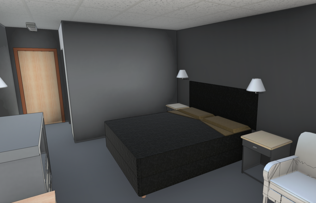
We document existing building conditions with measured floor plans, elevations, sections, and other agreed drawings. These records give architects, contractors, and property teams a practical starting point for renovation planning and building improvements.
Every deliverable is built from verified 3D laser scan data, captured around your property’s operational requirements and access constraints. Delivered in DWG, PDF, or Revit – whatever your design, engineering, facilities, or asset management team already uses.
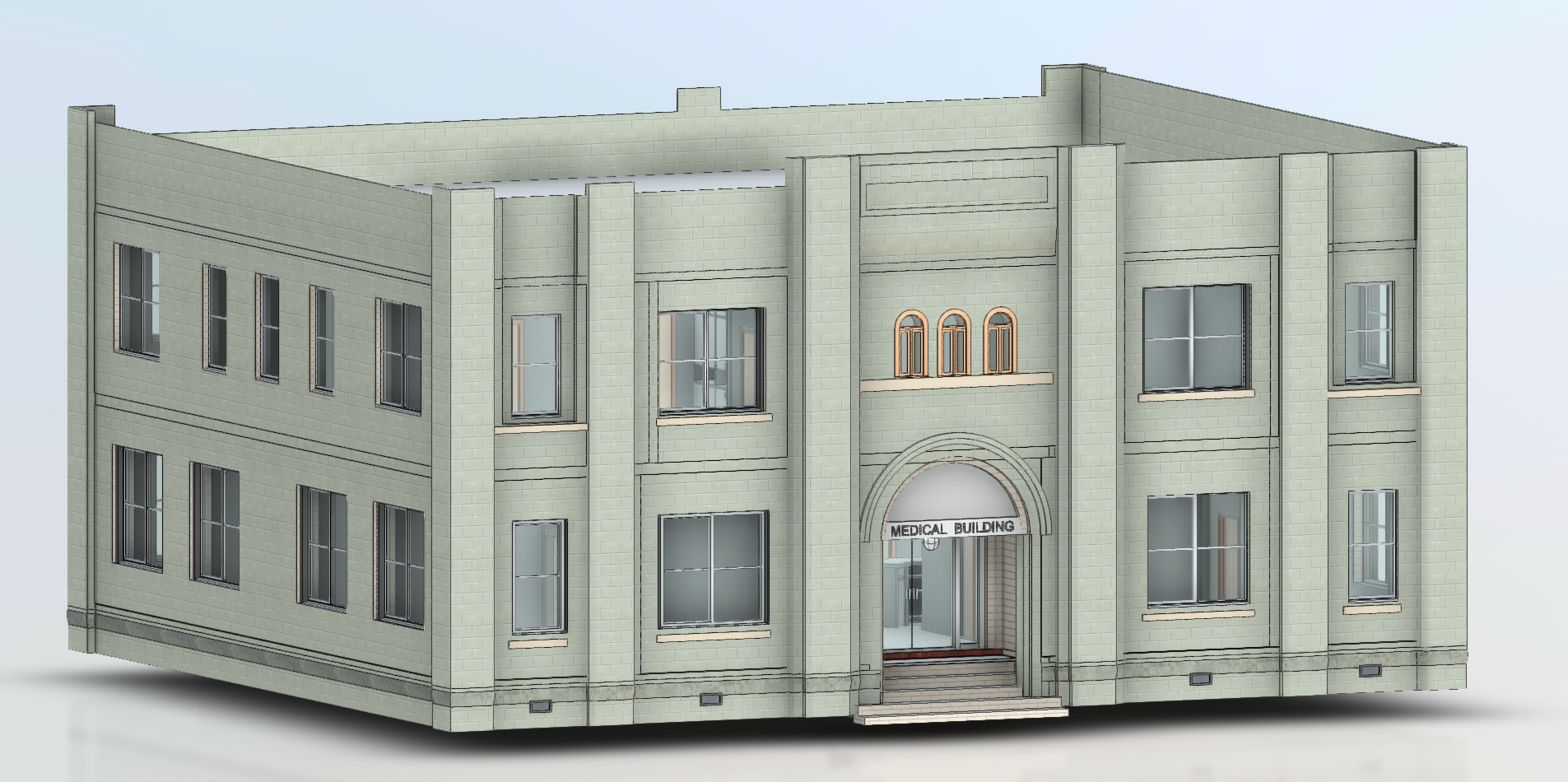
Up-to-date floor plans, elevations, sections, and existing-condition information for Miami commercial properties where the original as-built plans are missing, outdated, or no longer match the building.
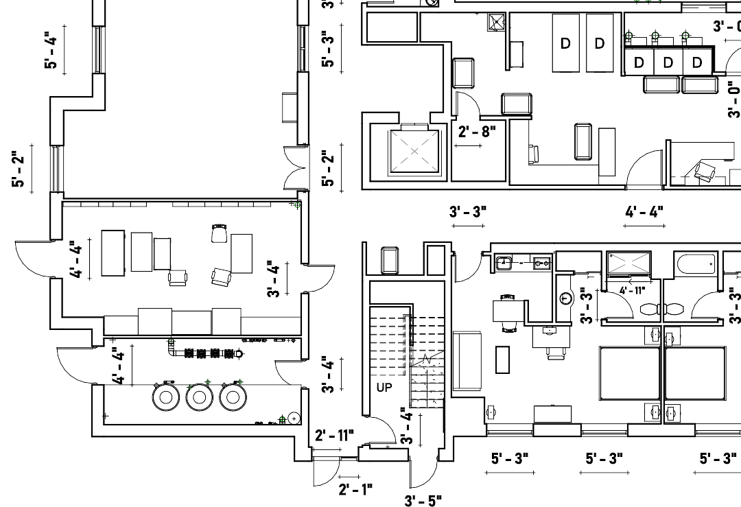
Turn measured site information into organized AutoCAD DWG and PDF drawings for design backgrounds, layout planning, and renovation documentation. Deliverables are scoped around the required drawing types, coverage, and level of detail.
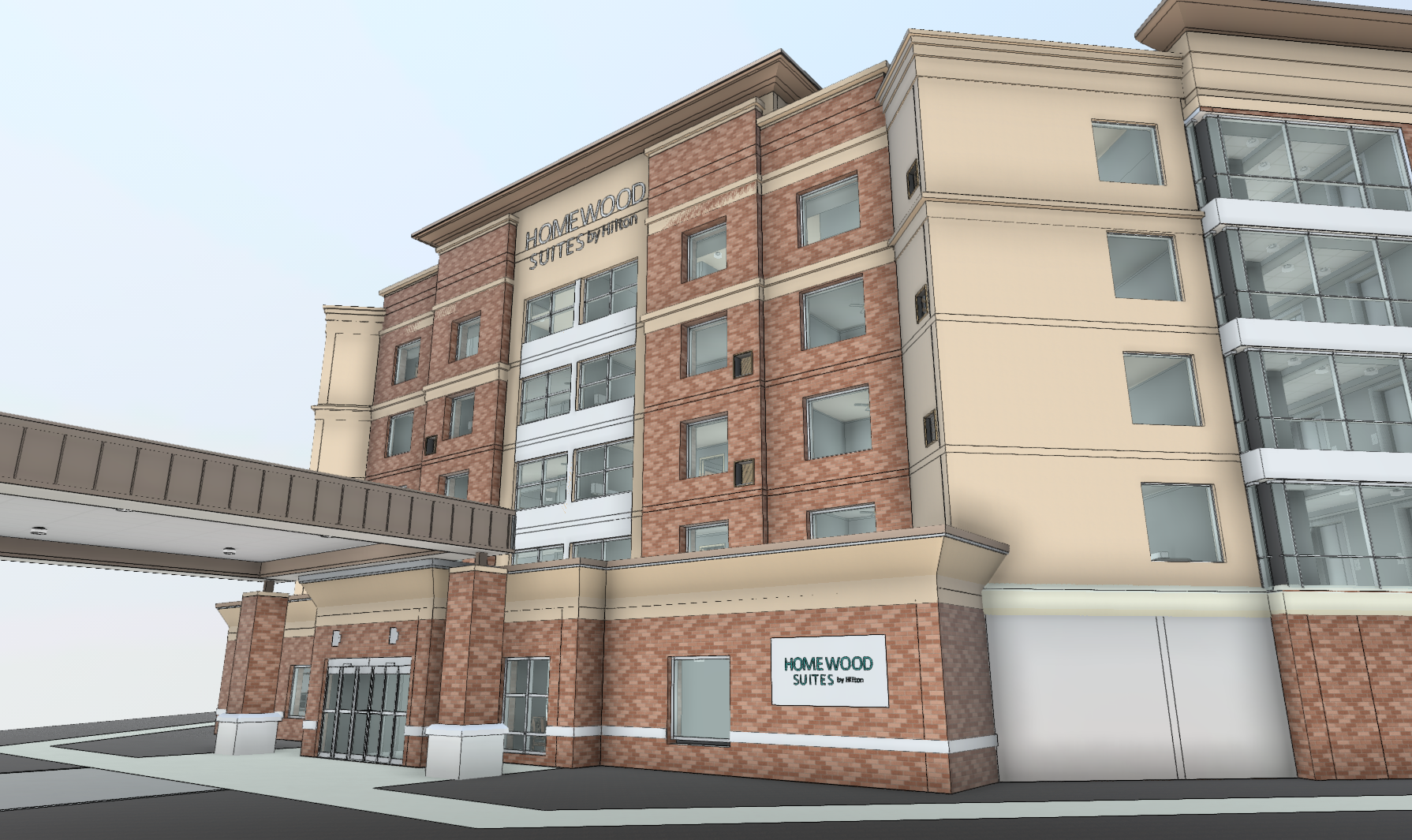
Convert captured building data into Revit models aligned with the agreed scope and level of development. BIM deliverables can support facility upgrades, renovation planning, design coordination, and the review of existing spaces across healthcare and commercial properties.
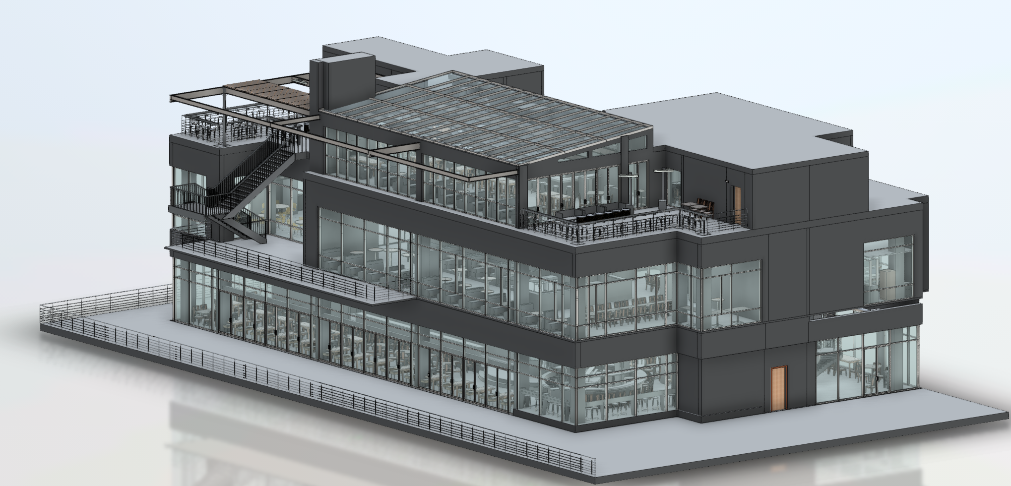
Document existing building conditions with measured floor plans, elevations, sections, and other agreed drawings. These records give architects, contractors, and property teams a practical starting point for renovation planning and building improvements.
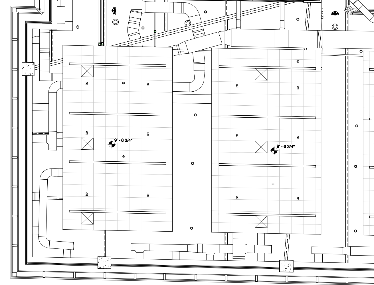
Capture and document visible mechanical, electrical, and plumbing features within the agreed survey scope. Existing-condition information can help project teams review service routes and coordinate proposed work, subject to access and visibility during site capture.
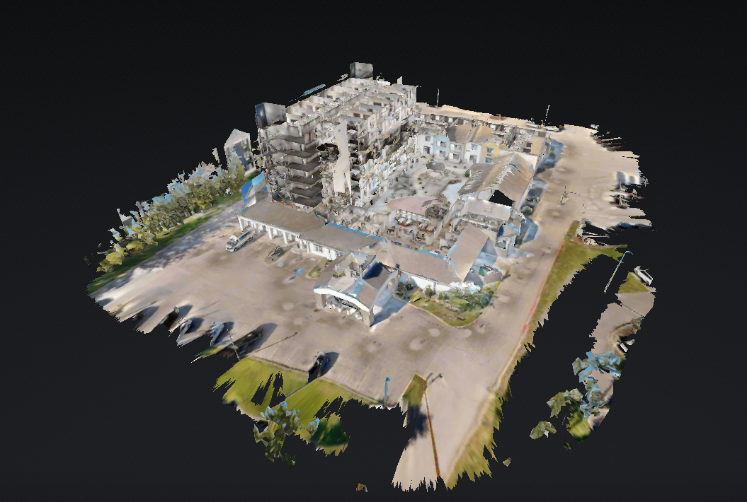
Create a visual record of captured spaces that stakeholders can review remotely. Virtual tours can support project familiarization, property review, and communication between teams who cannot always attend the site in person.
GeoMaus keeps project communication direct and practical. Michael Kiernan, owner of GeoMaus, works with clients to define the survey scope, coordinate site capture, and establish the deliverables needed for the project.

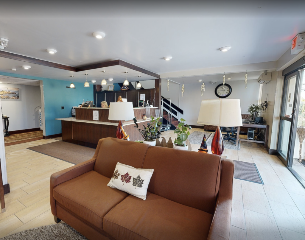
LOCATION
Bangor, Maine
BUILDING
SIZE
60,000 sq. ft.
SCOPE
3D LiDAR Laser Scanning, Scan to BIM, Measured Building Survey, 3D Virtual Tour
Most enquiries get a same-day reply from Michael directly. If your project isn’t a fit for us, he’ll tell you on the call and point you somewhere better.
No sales calls, no automated drip sequences. Michael replies personally to every enquiry usually within a few hours.