
Home / Location / Washington, DC
In Washington, the building you are about to rework has usually outlasted its drawings and several of its tenants. GeoMaus measures DC offices, hotels, and institutional buildings with 3D laser scanning, so owners and their design teams can plan a conversion, an energy upgrade, or a new lease against the building as it stands.
Surveys run from the East End and Golden Triangle to NoMa and Capitol Riverfront, and come back as Revit models, CAD and PDF drawings, MEP records, or Matterport walkthroughs.
Typical projects: Federal-Era Office Buildings | Office-to-Residential | Hotel Conversions | Medical Office | Institutional Buildings | Law Firm Floors | Mixed-Use | Property Portfolios
Downtown DC is full of buildings from the 1960s to the 1980s, held under the city’s height limit, with deep floorplates and cores placed for open-plan offices. Agency and law-firm build-outs have since changed partitions, ceilings, and mechanical rooms, and the original sets are often incomplete or missing altogether.
The Building Energy Performance Standards add a deadline-driven reason to look inside. Owners preparing upgrades need equipment, ducts, and risers recorded accurately before engineers can price their options.
Hotels, medical offices, and institutional buildings run their own cycles of renovation and brand change, often while occupied. Those projects benefit most from a survey planned around operating hours and security.
GeoMaus covers Downtown and the East End, the Golden Triangle, NoMa, Mount Vernon Triangle, Capitol Riverfront, the Southwest Waterfront, and Buzzard Point, plus Arlington, Alexandria, Bethesda, and Silver Spring.
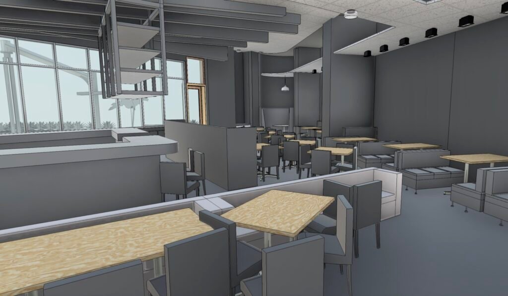
Every project starts with a 3D laser scan. What comes back depends on the decision in front of you: a feasibility study may only need typical floor plans, while a BEPS retrofit calls for modeled mechanical systems.
Drawings are produced in DWG, PDF, or Revit and checked against the point cloud before they reach you.
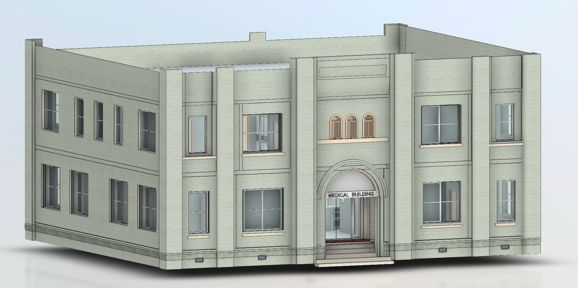
Measured plans, sections, and elevations for DC buildings whose original sets are missing or show layouts from several tenants ago. A reliable base for conversion and leasing studies.
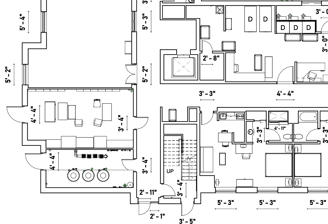
Clean backgrounds for test fits, demising plans, and hotel room layouts, supplied as AutoCAD DWG and PDF files. Drawing types and detail are agreed at scoping.
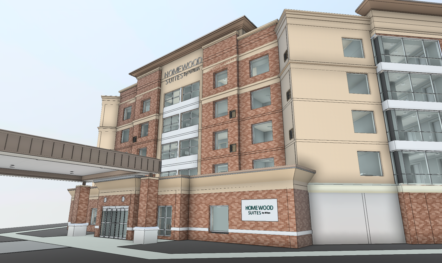
Your existing building rebuilt in Revit to the agreed level of development, so conversion and retrofit teams can design new work inside it.
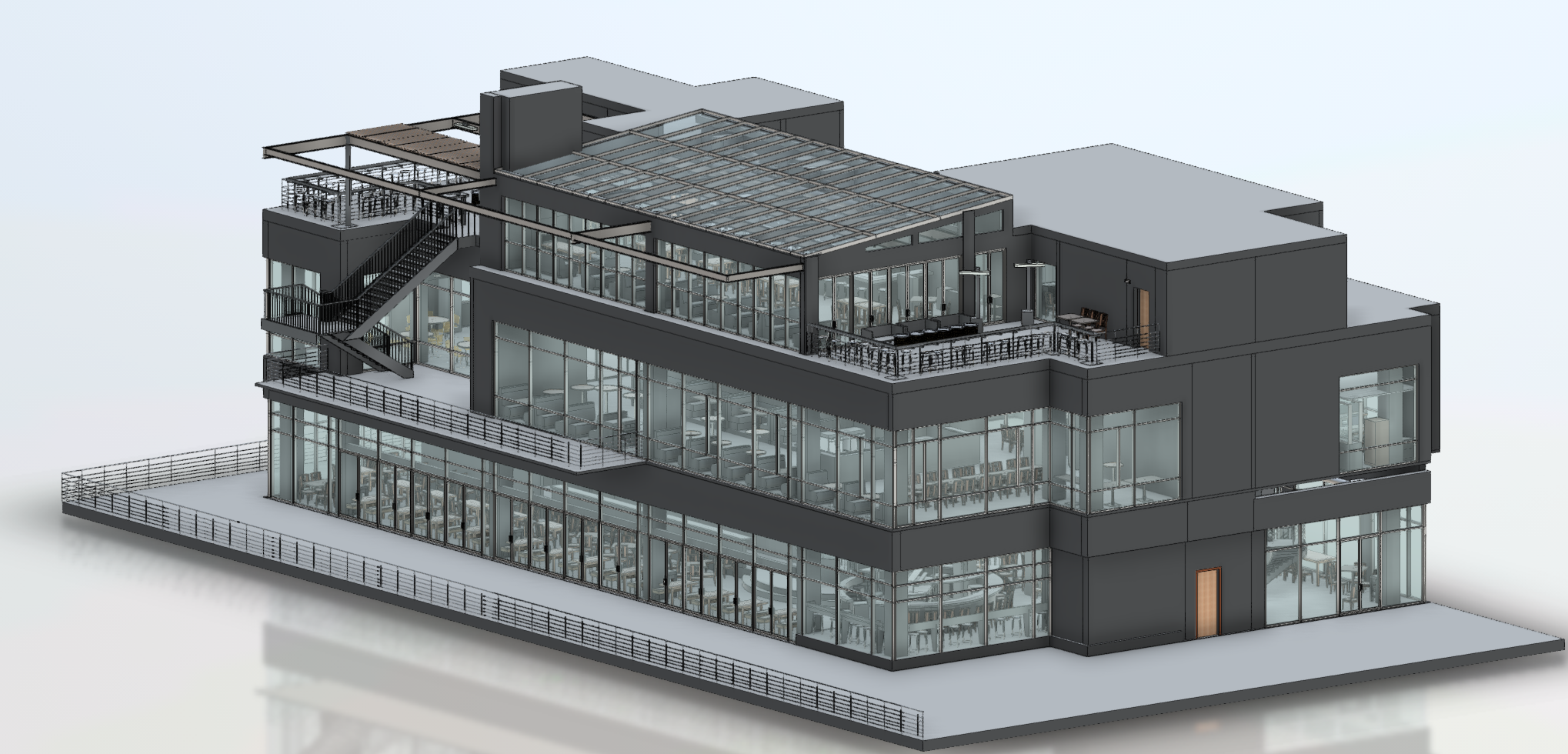
A complete measured record of the property for asset managers, lenders, and incoming tenants, captured before any work begins on site.
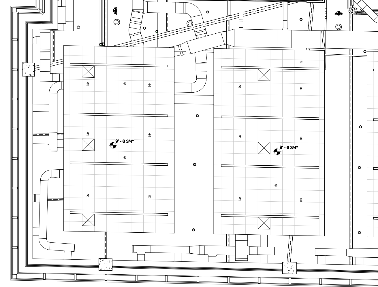
Visible mechanical, electrical, and plumbing systems recorded in plant rooms and above ceilings, giving BEPS and retrofit engineers a dependable starting point.
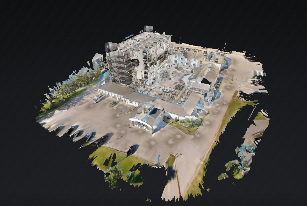
A 3D walkthrough that lets investors, brand reviewers, and remote consultants see the space without arranging another escorted visit to a secure building.
GeoMaus keeps project communication direct and practical. Michael Kiernan, owner of GeoMaus, works with clients to define the survey scope, coordinate site capture, and establish the deliverables needed for the project.

LOCATION
Washington, DC
BUILDING
Retail & Restaurants
SIZE
11,000 sq. ft.
SCOPE
3D LiDAR Laser Scanning, 3D Virtual Tour, Architectural CAD Documentation, Measured Building Survey, Scan-to-BIM
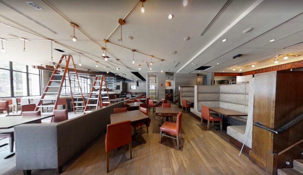
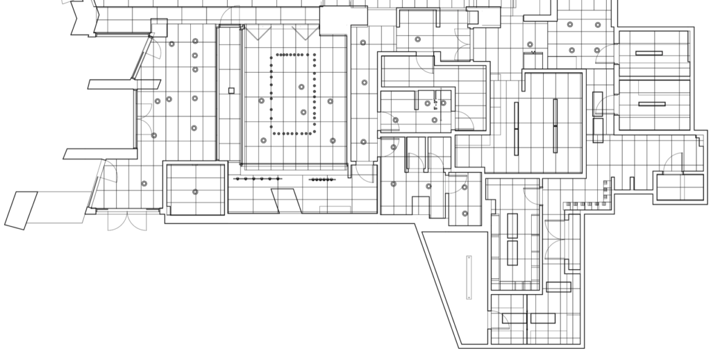
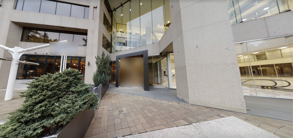
Laser scanning and a Revit as-built survey for an 11,000 sq. ft. restaurant in downtown Washington, DC. A hospitality group taking over the space needed existing-condition drawings before remodeling it. GeoMaus delivered a Revit model, a six-sheet CAD and PDF drawing set with room-by-room ceiling heights, a point cloud, and a Matterport 3D tour.
Answers on access, BEPS, conversions, and deliverables for projects in the District.
Yes. GeoMaus carries out measured building surveys and 3D laser scanning across Washington, DC, from the East End and Golden Triangle to NoMa and Capitol Riverfront. Results are delivered as CAD drawings, Revit models, PDFs, point clouds, or Matterport tours, depending on the scope agreed.
A measured building survey is the fieldwork: recording the building’s dimensions, in this case with a 3D laser scanner. As-built drawings are the output, the floor plans, sections, and elevations drawn from that data. GeoMaus provides both, so the drawings and the measurements come from one consistent source.
BEPS requires covered buildings to meet energy performance targets, and the program is widening to smaller properties. A survey does not make a building compliant, but it gives your engineers an accurate record of existing equipment, ducts, and risers, which they need before designing and pricing upgrades.
In most cases, yes. Capture is planned around escort rules, badge procedures, restricted areas, and after-hours access set by building management or the tenant. Share those requirements at the quote stage so the visit can be scheduled to fit them.
It usually records floorplates, core and stair positions, column grids, window locations, and floor-to-floor heights on representative floors. Those measurements let architects test unit layouts and daylight before an owner commits to surveying the whole building.
Yes. Alongside the District, GeoMaus takes on projects in Arlington and Alexandria in Virginia and in Bethesda and Silver Spring in Maryland. Send the property address and building type and we’ll confirm the scope.
The closest published example is a 30,000 sq. ft. office floor in Times Square, New York. While the floor stood empty, GeoMaus captured rooms, ceilings, and ductwork overhead, then handed over a Revit model plus CAD and PDF sets. The client signed them off with no revision requests.
Most enquiries get a same-day reply from Michael directly. If your project isn’t a fit for us, he’ll tell you on the call and point you somewhere better.
No sales calls, no automated drip sequences. Michael replies personally to every enquiry usually within a few hours.