
Home / Location / Manhattan, NY
Manhattan projects rarely get a second site visit. Building management books the freight elevator, the access window is short, and the design team wants drawings soon after. GeoMaus laser-scans office floors, restaurant spaces, hotels, and retail units across Midtown, Hudson Yards, and Lower Manhattan, recording above-ceiling ductwork and services along with the walls and floors.
You receive the existing conditions as a Revit model, AutoCAD and PDF drawings, reflected ceiling plans, a point cloud, or a Matterport tour, depending on what the architect or engineer is working toward.
Typical projects: Office Floors | Restaurant Fit-Outs | Retail Units | Hotels | Office-to-Residential | Pre-War Buildings | Mixed-Use Towers | Tenant Build-Outs
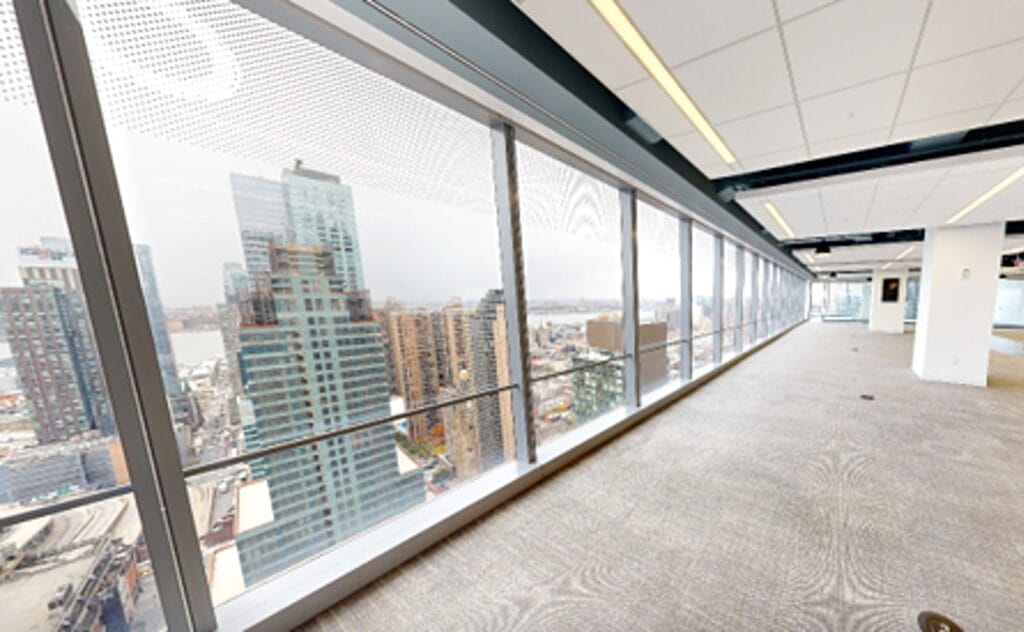
A pre-war loft or a 1960s Midtown tower can carry decades of alterations. Walls move, ducts get rerouted around each new tenant, and the base-building set kept by management stops matching the space long before anyone checks.
Owners make up the second group. Older Financial District towers are being turned into housing, with RXR’s 61 Broadway set to hold almost 800 apartments, and Local Law 97 is pushing owners of buildings over 25,000 square feet to plan mechanical upgrades. Both kinds of project start with a measured record of what is already in the building.
Restaurant groups taking over existing spaces are the third. In Hudson Yards, a 6,000 sq. ft. space with an exposed ceiling was scanned in one fixed access window, and the full drawing set followed 12 days later.
We work across Midtown, Midtown South, Hudson Yards, the Financial District, Chelsea, Murray Hill, and the Penn District, and cross the river for projects in Brooklyn, Queens, and Jersey City.
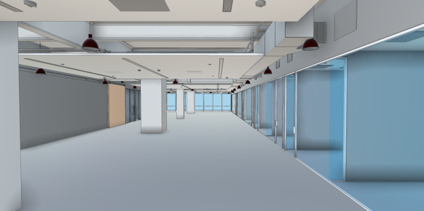
Each survey starts with a 3D laser scan of the space, registered into a point cloud and then drawn up in whichever format your team designs in.
Scope is set floor by floor. Some projects need only a floor plan and reflected ceiling plan; others need a full coordinated Revit model with the MEP modeled.
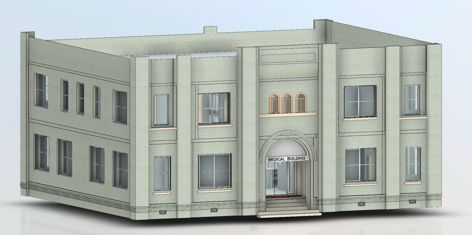
Floor plans, sections, and elevations measured from scan data for pre-war and post-war Manhattan buildings whose base-building drawings stopped matching years ago.
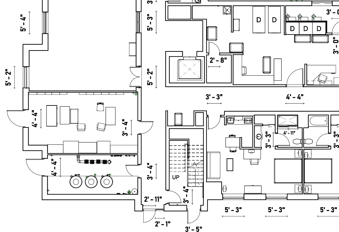
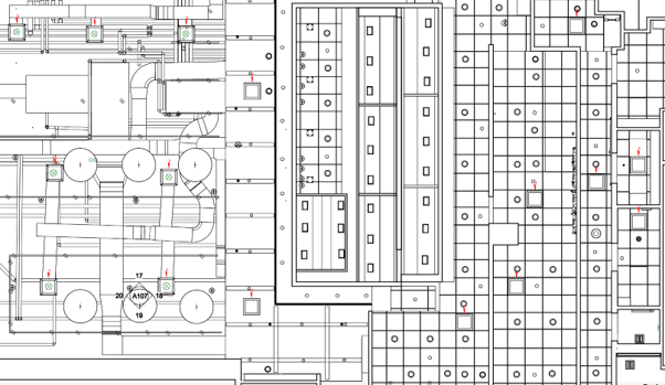
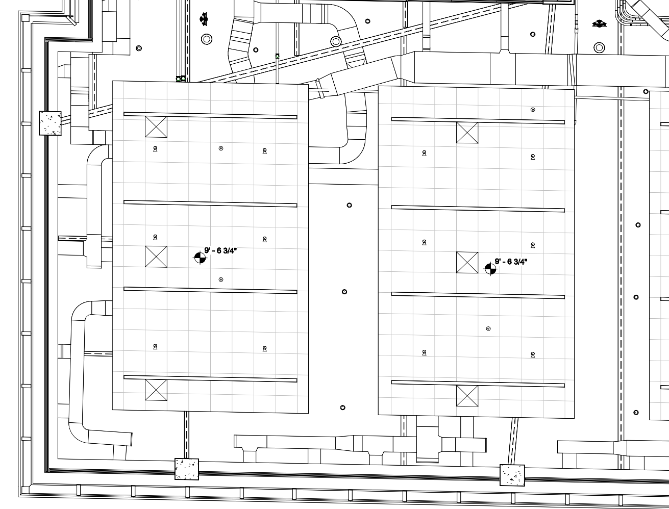
Clean DWG backgrounds and PDFs an architect can drop into a fit-out set, including reflected ceiling plans showing lights, diffusers, and ceiling heights.
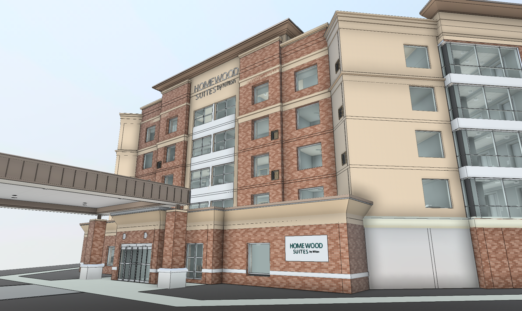
A Revit model of the floor as built, with structure and visible services modeled to the agreed level of detail and ready for coordination with the new design.
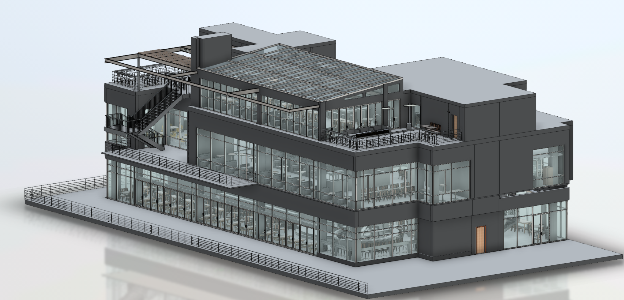
A dated record of the space before work begins, for when a landlord, lender, or incoming tenant needs to know exactly what was handed over.
Ducts, pipes, cable trays, and plant rooms recorded where they run today, so engineers planning Local Law 97 upgrades start from real routes.
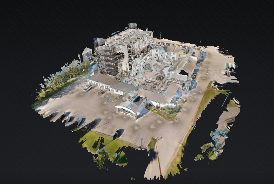
A browsable 3D walkthrough for partners, brokers, and out-of-town teams who cannot easily get into a Manhattan building during its access window.
GeoMaus keeps project communication direct and practical. Michael Kiernan, owner of GeoMaus, works with clients to define the survey scope, coordinate site capture, and establish the deliverables needed for the project.

LOCATION
Times Square, Midtown Manhattan, NYC
BUILDING
Office Buildings
SIZE
30,000 sq. ft.
SCOPE
3D LiDAR Laser Scanning, 3D Virtual Tour, BIM Modelling, Measured Building Survey
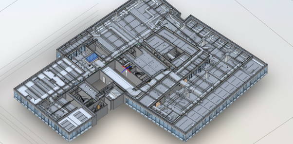
Full LiDAR capture and scan-to-BIM documentation of a vacant 30,000 sq. ft. office floor in a landmark Times Square building, delivered design-ready with no revisions.
Straight answers on access, scope, and the files you get back from a Manhattan survey.
Site time depends on floor area and access, but a single office floor or restaurant space can often be captured in one visit. For a 6,000 sq. ft. Hudson Yards restaurant, GeoMaus scanned the space in a fixed access window and delivered CAD, PDF, and Revit files 12 days later. Larger floors and whole buildings are scheduled in phases.
A reflected ceiling plan shows the ceiling as if mirrored onto the floor: lights, diffusers, sprinkler heads, ceiling heights, and exposed ducts. Manhattan fit-outs often sit under ceilings changed by several past tenants, so architects and MEP engineers use a measured RCP to plan new layouts around what is already there.
Yes. GeoMaus schedules capture around building management rules, freight elevator bookings, and evening or weekend windows. Tell us the building’s requirements when you ask for a quote, and the visit will be booked to fit them.
It helps with the physical side. Local Law 97 sets carbon limits for New York City buildings over 25,000 square feet, with stricter limits from 2030. An MEP survey and Revit model give the engineers planning upgrades an accurate picture of existing equipment and routes.
Yes. Conversion studies depend on floorplates, core positions, column grids, window lines, and floor-to-floor heights, and a laser scan records all of them. Owners often start with a few typical floors to test feasibility, then extend the survey to the whole building once the design moves forward.
GeoMaus works throughout Manhattan, including Midtown, Midtown South, Hudson Yards, Times Square, the Financial District, Chelsea, Murray Hill, and the Penn District. We also cover Brooklyn and Queens, plus Jersey City across the Hudson. Send the address and we’ll confirm.
Michael Kiernan, GeoMaus’s founder, runs every project personally. You’ll have his direct line from the first call. The fieldwork and modelling are delivered by our team, but the planning, the quality control, and any decision that affects your programme are owned by Michael.
Most enquiries get a same-day reply from Michael directly. If your project isn’t a fit for us, he’ll tell you on the call and point you somewhere better.
No sales calls, no automated drip sequences. Michael replies personally to every enquiry usually within a few hours.