
Pittsburgh’s buildings often carry decades of change: former mills converted into technology spaces, historic structures adapted for new uses, and healthcare or research facilities upgraded around existing systems. GeoMaus provides accurate as-built documentation, 3D laser scanning, Scan-to-CAD, and Scan-to-BIM services for projects where the building on paper does not tell the whole story.
From complex MEP retrofits and robotics facilities to historic conversions and commercial renovations, we help project teams work from verified existing conditions.
Typical projects: Commercial Buildings | Industrial Facilities | Healthcare & Life Sciences | Historic Conversions | Technology & Robotics Spaces | Infrastructure
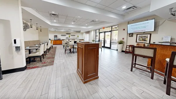
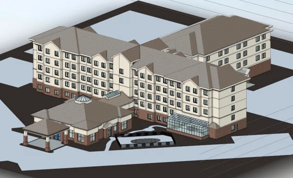
Older industrial structures, renovated commercial properties, and active healthcare facilities can contain years of undocumented changes. Walls move, mechanical systems expand, equipment is relocated, and original drawings become unreliable.
For Pittsburgh retrofit and adaptive reuse projects, inaccurate existing information can create avoidable design revisions, coordination problems, and construction delays.
GeoMaus captures your property as it exists today, providing architects, engineers, contractors, developers, facilities teams, and property managers with a verified existing-condition baseline before the next phase of work begins.
The region also has a growing concentration of robotics, advanced manufacturing, healthcare, and life sciences activity. This creates projects where new technology, modern building systems, and existing industrial structures must work together.
Pittsburgh’s older building stock creates particular demands for accurate documentation. Historic commercial buildings, former warehouses, steel-related facilities, and institutional properties often contain irregular geometry and layers of previous construction. Laser scanning helps capture those conditions before renovation, conversion, or MEP redesign begins.
For architects, engineers, contractors, and owners, reliable existing-condition information can reduce uncertainty before work reaches the field.
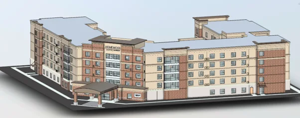
We work on buildings 50,000 sqft and above including data centers,, offices, warehouses, distribution centres, and multi-site portfolios where accurate documentation is non-negotiable.
Every deliverable is built from verified 3D laser scan data, captured within your facility’s security and operational protocols. Delivered in DWG, PDF, or Revit, whatever your engineering team already uses.
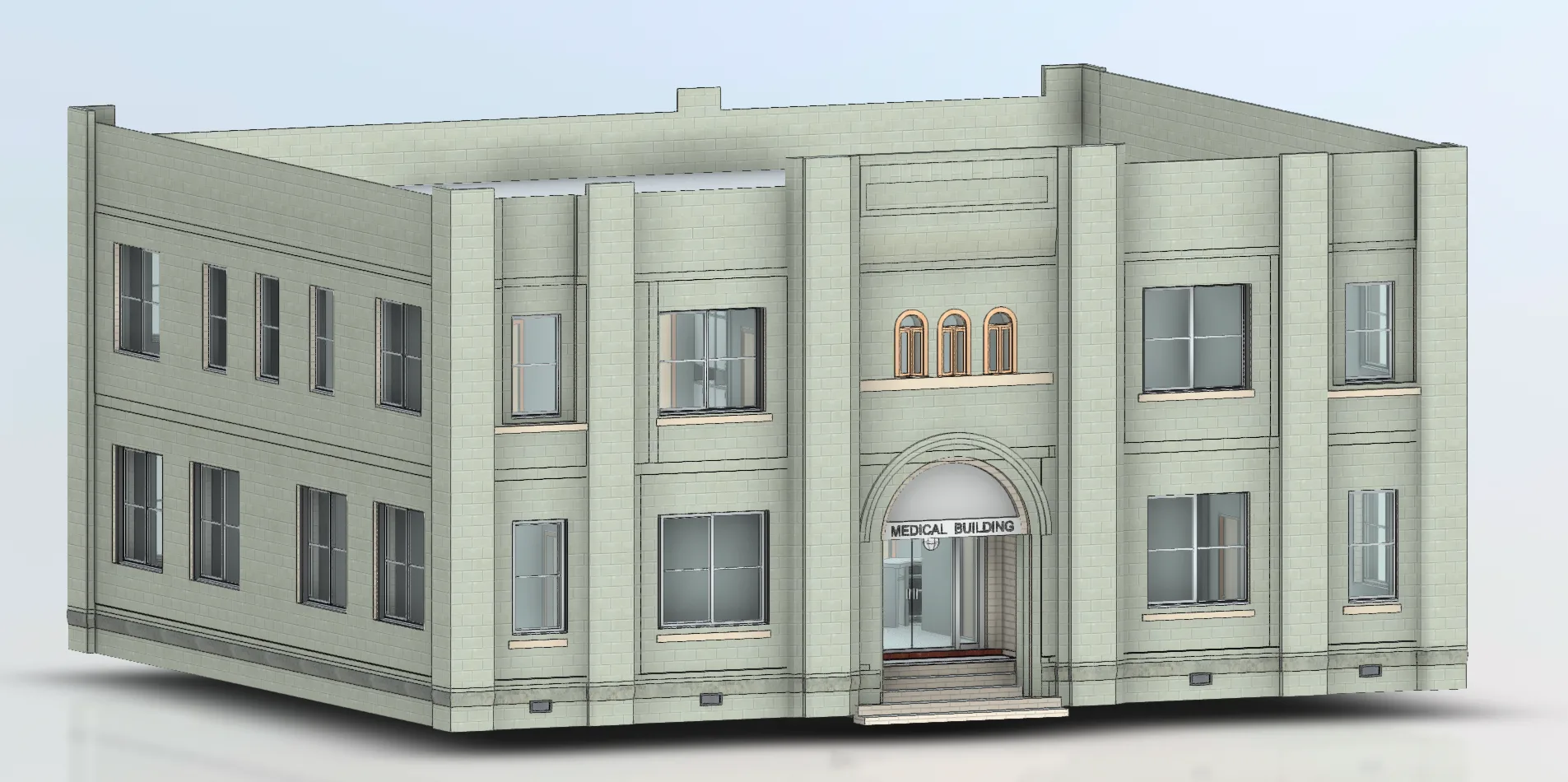
Up-to-date floor plans, elevations, sections, and existing-condition information for commercial, industrial, and historic properties where original drawings are missing, outdated, incomplete, or no longer reflect the building accurately.
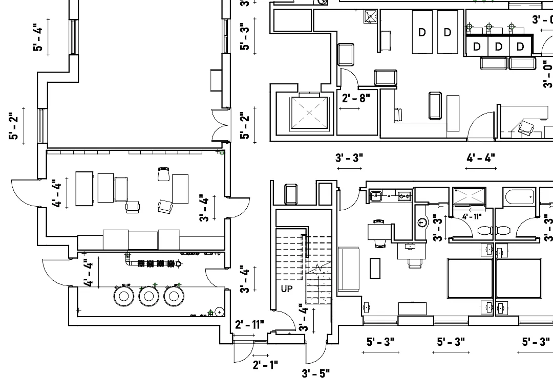
Clean 2D as-built drawings produced from laser scan data, ready to hand directly to your architect, engineer, contractor, facilities manager, or property development team.
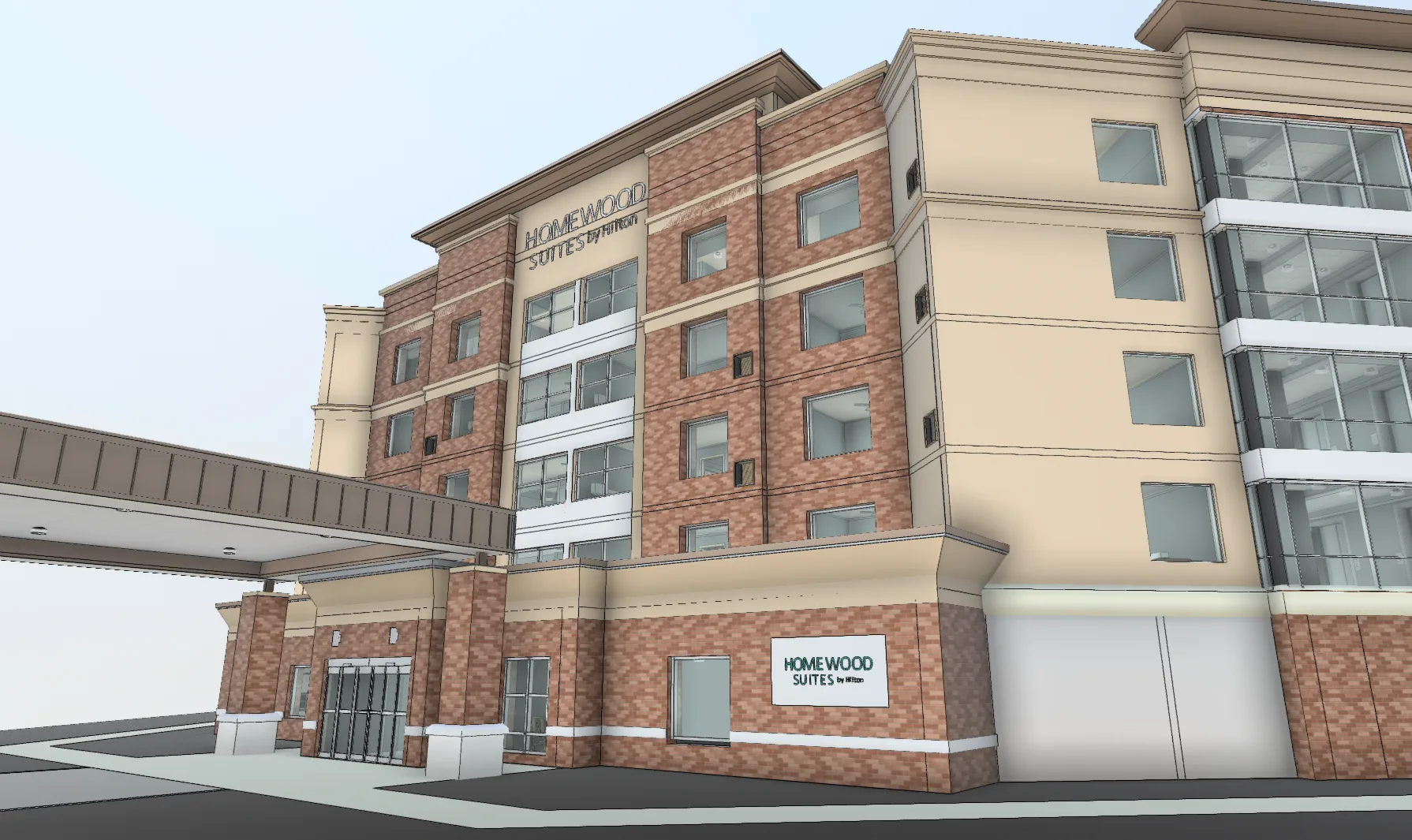
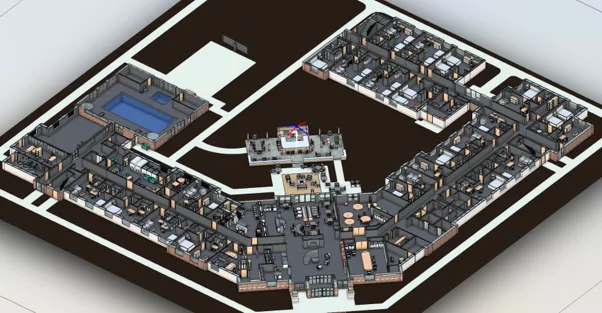
A working Revit model of your property as it exists today. Useful for warehouse expansions, industrial redevelopment, adaptive reuse, commercial renovations, MEP coordination, facility planning, asset management, and multi-site portfolios.
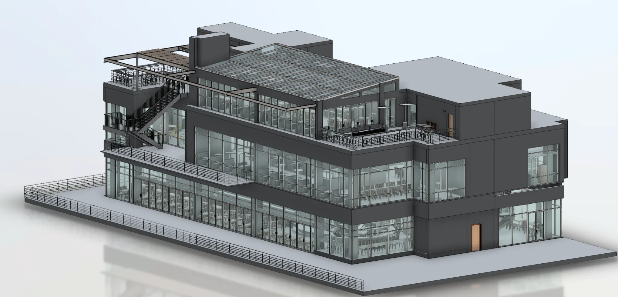
A complete record of your property's current physical conditions. Drawings and models your team can rely on for refurbishment, expansion, redevelopment, tenant improvements, compliance, asset management, and future capital projects.
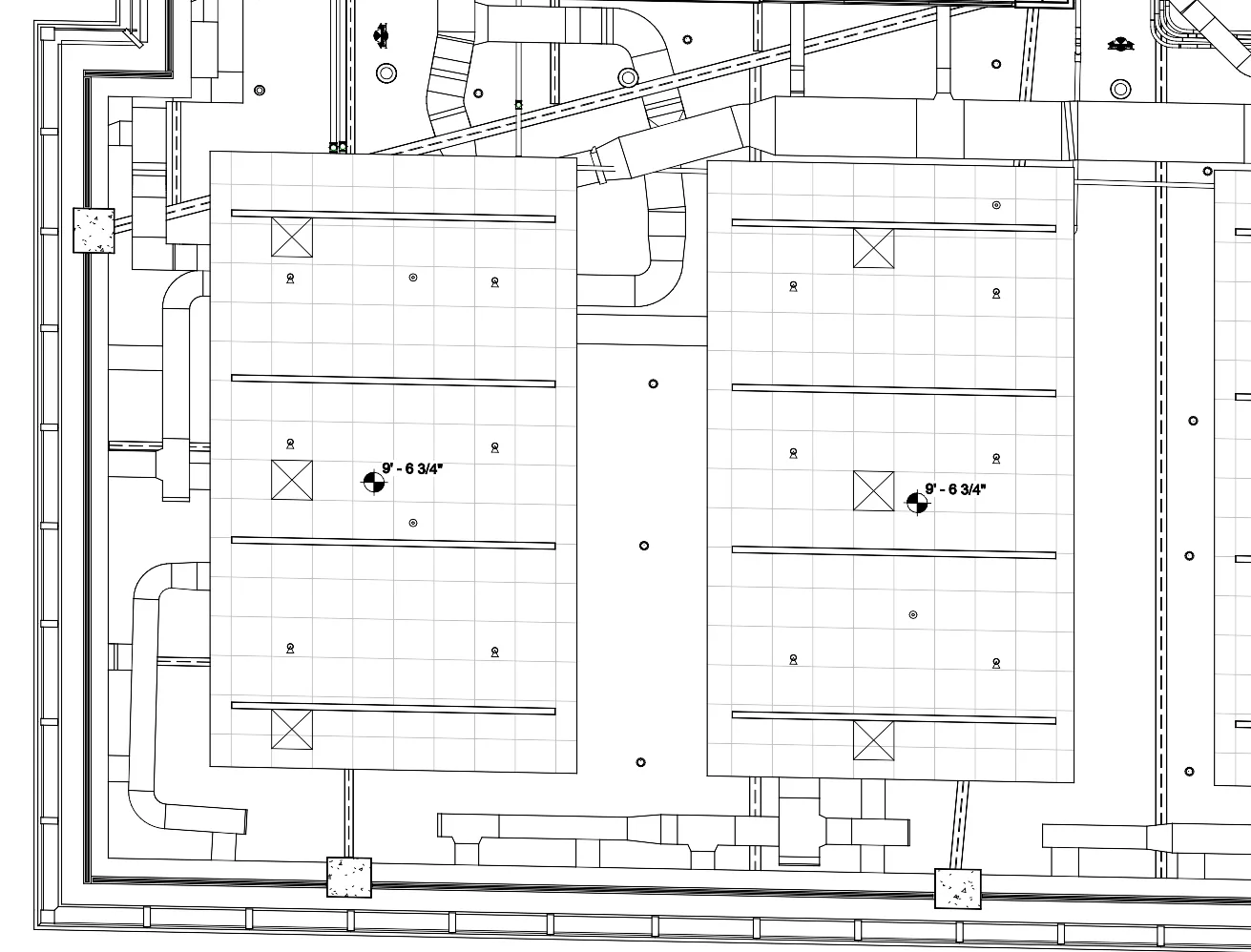
Coordinated documentation of ductwork, piping, cable trays, electrical systems, refrigeration infrastructure, equipment, and other building services, captured where they actually exist rather than where outdated drawings suggest they should be.
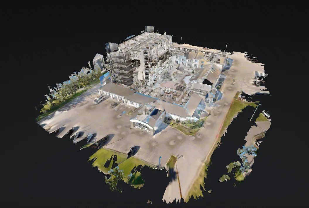
A walkable 3D model of your property that your team can explore remotely from a browser. Useful for facilities management, property operations, leasing, vendor coordination, remote teams, and portfolio documentation.
On every project, you’ll work directly with Michael Kiernan, GeoMaus’s founder, from the first call through to delivery. No project coordinators, no handoffs, no relayed messages. When something changes onsite or a deadline shifts, you’re speaking to the person who can make the call that day.

LOCATION
BUILDING
SIZE
SCOPE
3D LiDAR Laser Scanning, BIM Modelling, Measured Building Survey, 3D Virtual Tour
Yes. Point-cloud data can be developed into existing-condition Revit models for architectural, structural, and MEP coordination.
Yes. Accurate existing-condition information can be used as a basis for identifying spatial conflicts between existing building systems and proposed design elements.
Yes. Site work can be planned around building operations, access requirements, security procedures, and safety restrictions to reduce disruption.
Depending on the project, deliverables may include DWG drawings, PDF plans, Revit models, point clouds, MEP documentation, and Matterport virtual tours.
Most enquiries get a same-day reply from Michael directly. If your project isn’t a fit for us, he’ll tell you on the call and point you somewhere better.
No sales calls, no automated drip sequences. Michael replies personally to every enquiry usually within a few hours.