
Home / Location / Chicago, IL
Chicago’s building stock ranges from historic downtown properties and office towers to large industrial, logistics, and manufacturing facilities across Chicagoland. GeoMaus provides measured building surveys, 3D laser scanning, as-built documentation, Scan-to-CAD, and Scan-to-BIM for projects where accurate existing conditions matter.
We serve Downtown Chicago and industrial corridors across Northern Illinois, including Rockford and Belvidere, supporting renovations, tenant build-outs, adaptive reuse, facility upgrades, and complex commercial projects.
Typical projects: Office Buildings | Industrial Facilities | Warehouses & Distribution | Tenant Build-Outs | Healthcare | Manufacturing | Data Centers
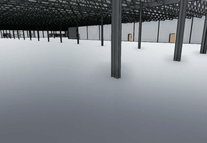
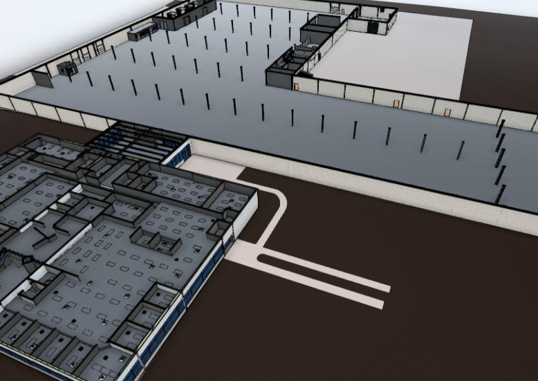
A renovation may begin with a set of drawings that no longer reflects the building. Tenants have changed layouts, mechanical systems have been modified, walls have moved, and years of alterations may never have made it onto the original plans.
That becomes especially important during Chicago tenant build-outs, industrial retrofits, and adaptive reuse projects.
GeoMaus captures your property as it exists today, providing architects, engineers, contractors, developers, facilities teams, and property managers with a verified existing-condition baseline before the next phase of work begins.
Chicago is a large and diverse commercial market, with active demand across office, industrial, retail, data center, and multifamily properties. CBRE’s 2026 outlook highlights continued demand for prime office space and significant activity across Chicago’s industrial and data center sectors.
The industrial footprint extends well beyond the city. Chicago’s I-80 and I-55 corridors, Joliet, O’Hare, the western suburbs, and the Fox Valley form a major network of logistics, manufacturing, and distribution properties. Recent market data shows substantial leasing and construction activity across these corridors.
At the same time, Chicago continues to adapt older buildings for new uses. Historic Loop properties are being considered for adaptive reuse, while existing commercial buildings are being renovated rather than replaced.
That mix creates very different survey requirements within the same region. GeoMaus supports projects from Downtown Chicago through Chicagoland and into Northern Illinois, including industrial areas around Rockford and Belvidere.
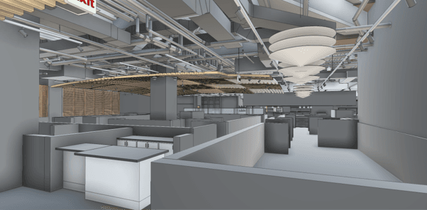
We work on buildings 50,000 sqft and above including data centers,, offices, warehouses, distribution centres, and multi-site portfolios where accurate documentation is non-negotiable.
Every deliverable is built from verified 3D laser scan data, captured within your facility’s security and operational protocols. Delivered in DWG, PDF, or Revit, whatever your engineering team already uses.
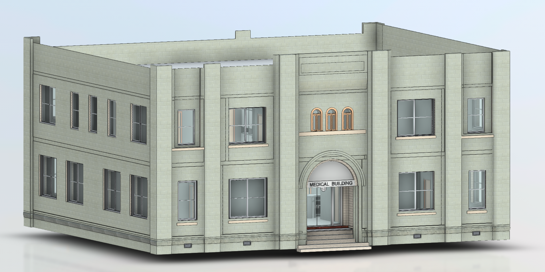
Up-to-date floor plans, elevations, sections, and existing-condition information for commercial, industrial, and historic properties where original drawings are missing, outdated, incomplete, or no longer reflect the building accurately.
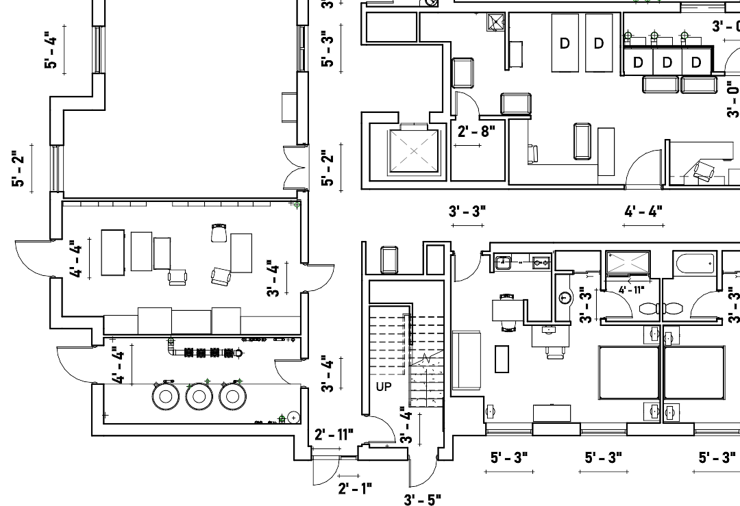
Clean 2D as-built drawings produced from laser scan data, ready to hand directly to your architect, engineer, contractor, facilities manager, or property development team.
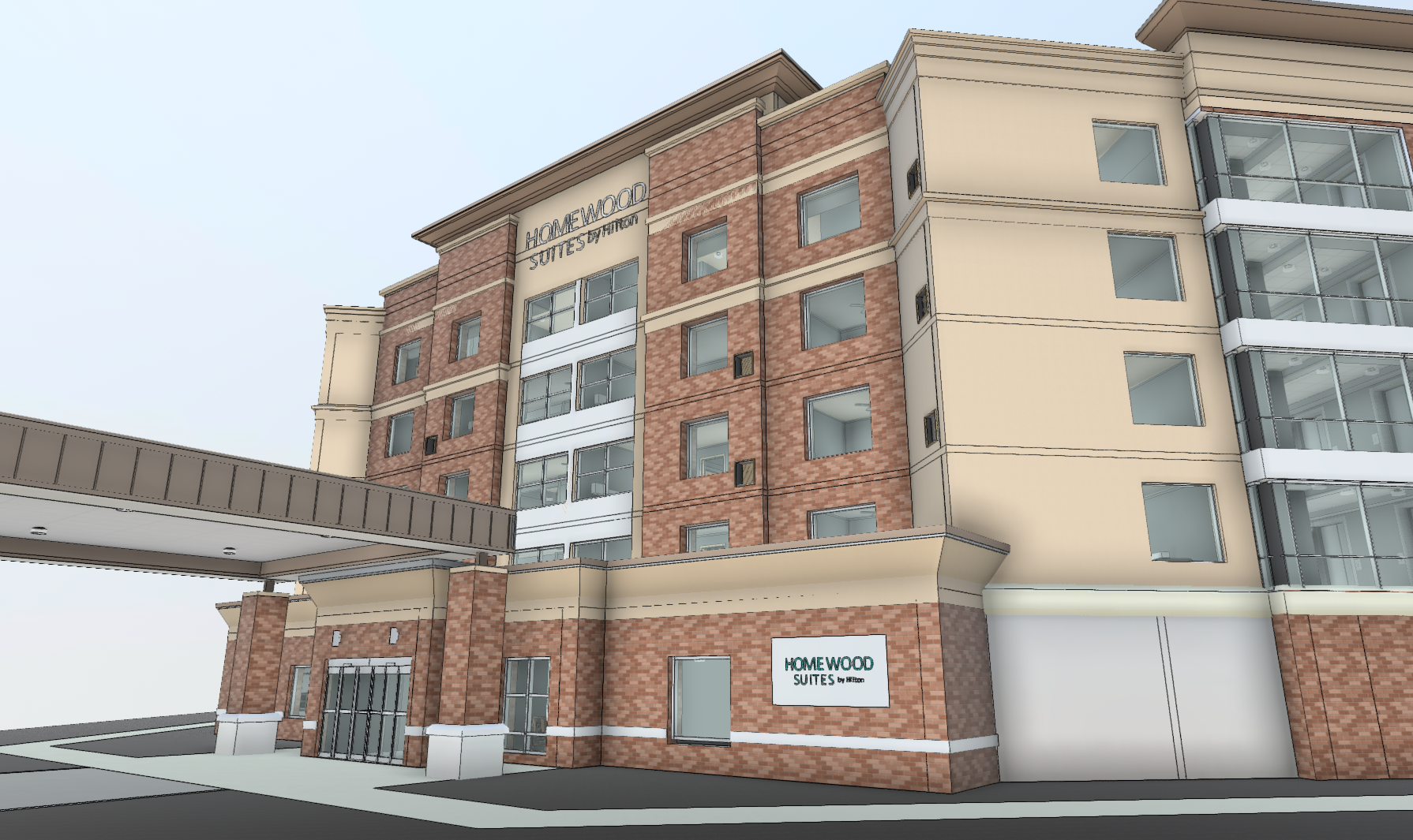
A working Revit model of your property as it exists today. Useful for warehouse expansions, industrial redevelopment, adaptive reuse, commercial renovations, MEP coordination, facility planning, asset management, and multi-site portfolios.
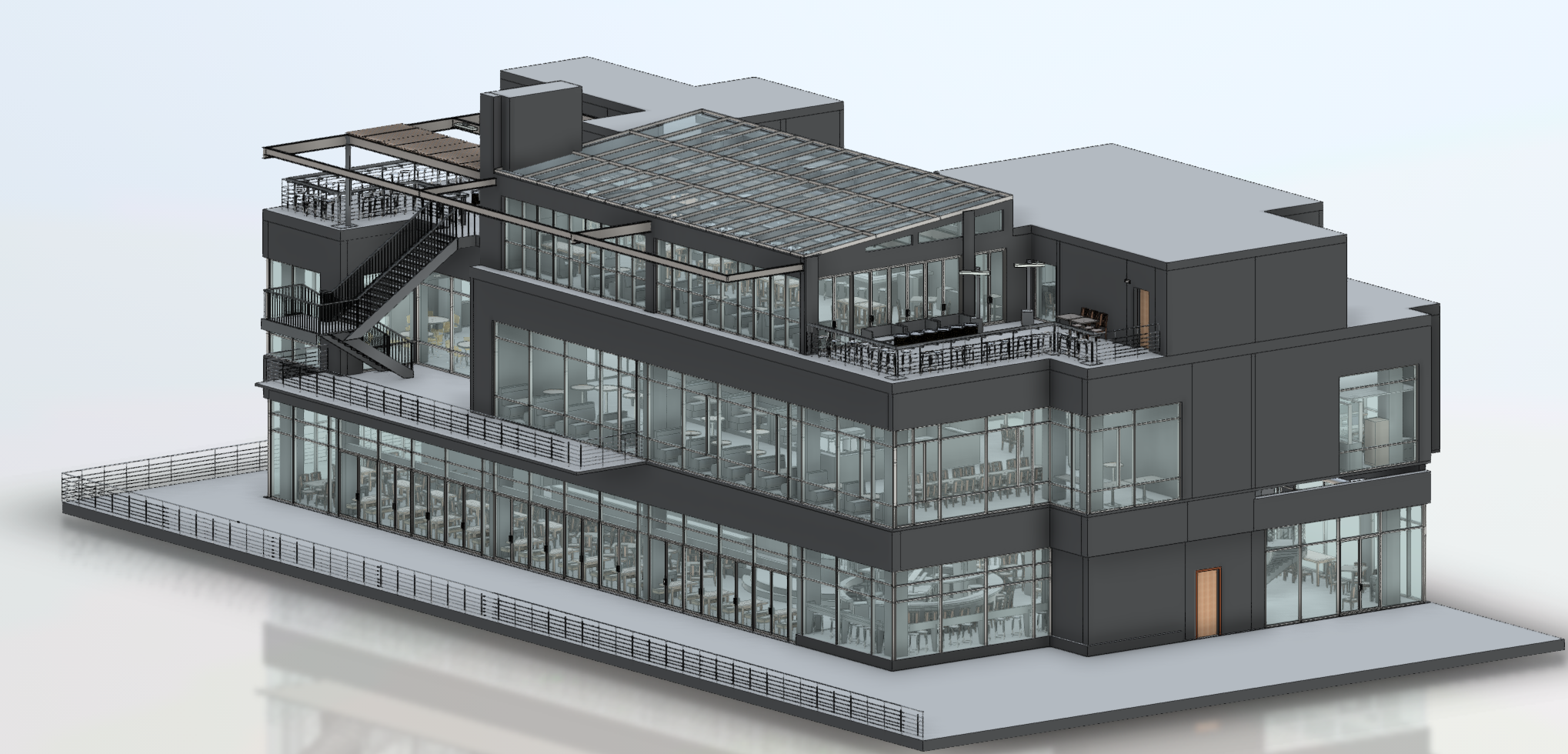
A complete record of your property's current physical conditions. Drawings and models your team can rely on for refurbishment, expansion, redevelopment, tenant improvements, compliance, asset management, and future capital projects.
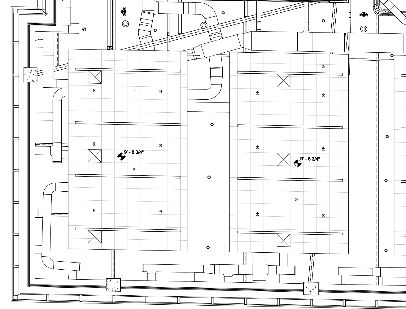
Coordinated documentation of ductwork, piping, cable trays, electrical systems, refrigeration infrastructure, equipment, and other building services, captured where they actually exist rather than where outdated drawings suggest they should be.
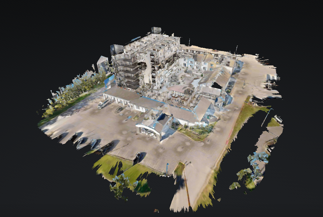
A walkable 3D model of your property that your team can explore remotely from a browser. Useful for facilities management, property operations, leasing, vendor coordination, remote teams, and portfolio documentation.
On every project, you’ll work directly with Michael Kiernan, GeoMaus’s founder, from the first call through to delivery. No project coordinators, no handoffs, no relayed messages. When something changes onsite or a deadline shifts, you’re speaking to the person who can make the call that day.

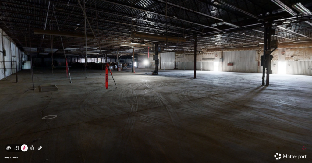
LOCATION
Belvidere, IL
BUILDING
SIZE
150,000 sq. ft.
SCOPE
3D LiDAR Laser Scanning, BIM Modelling, Measured Building Survey, 3D Virtual Tour
Yes. Large warehouses, logistics facilities, manufacturing buildings, and other industrial properties can be documented through 3D laser scanning and measured building surveys.
Yes. Existing-condition drawings and scan data can provide the dimensional information needed before developing a new tenant layout within an existing space.
Depending on the project, deliverables can include DWG, PDF, Revit, point-cloud data, MEP documentation, and Matterport virtual tours.
Yes. Visible MEP systems can be captured and documented for renovation, retrofit, coordination, and Scan-to-BIM workflows.
Most enquiries get a same-day reply from Michael directly. If your project isn’t a fit for us, he’ll tell you on the call and point you somewhere better.
No sales calls, no automated drip sequences. Michael replies personally to every enquiry usually within a few hours.